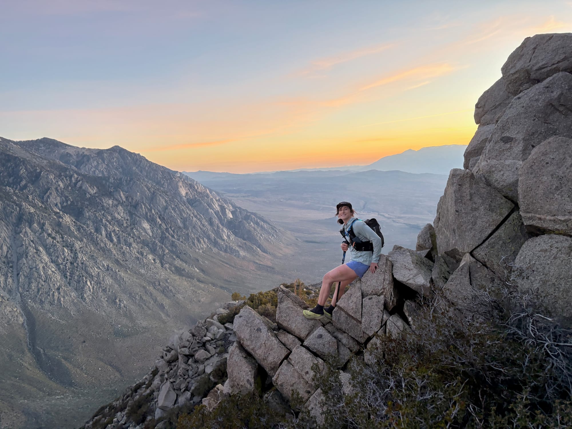
Mt. Tom, North Ridge
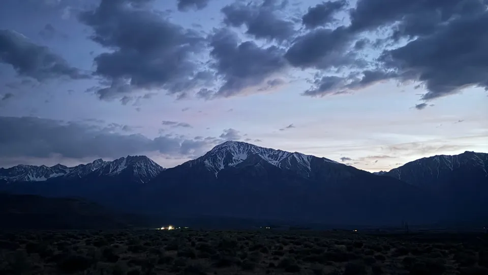
As a lover of the game myself, it's easy to recognize a sandbag when it's being presented to me. Kelsey and I had been talking about doing a trail run together when she offhandedly mentioned that she wanted to do something on Mount Tom, but it might have "some scree portions". I prodded a bit more, and the objective came into focus - a steep climb from the base of Mt. Tom at ~5,800' to the summit at 13,658' via the North Ridge, with a cumulative 8,000' of elevation gain and roughly 5 miles of off-trail alpine ridge travel. Kelsey casually noted that she "wasn't totally sure how much of it would be runnable" and that "most people go the other way, from Horton Lakes" (that route starts at a trailhead over 2,000' higher, and has a hiking trail most of the way up). So far, this had all the elements of a classic sandbag. I immediately agreed to plans to meet up for the "run" on Monday.
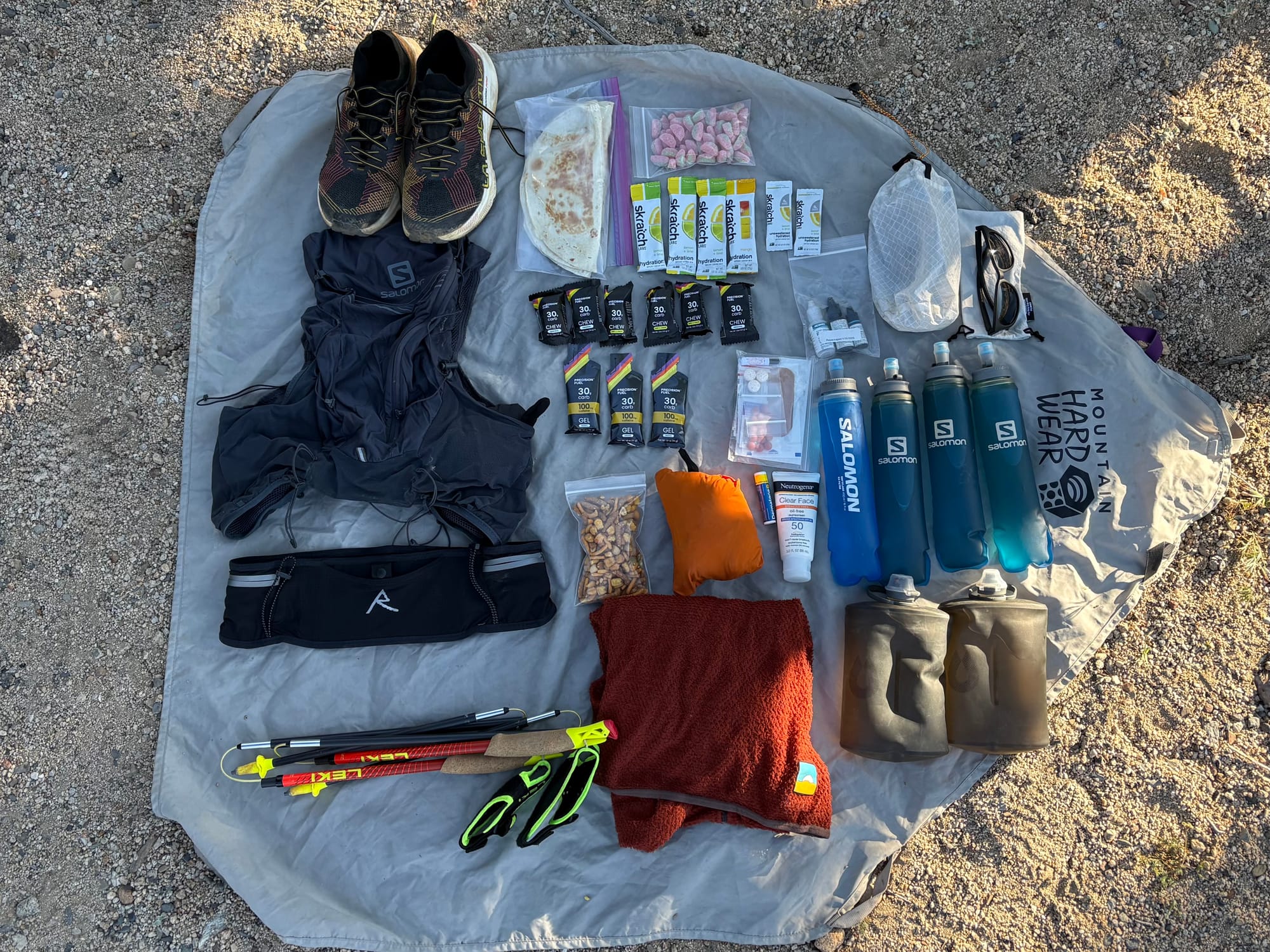
On Sunday evening we convened to shuffle gear and make plans. The routefinding looked easy (follow the ridge), but we were unsure about whether or not we'd have good options to find water on route, given that the west side of the ridge was already entirely snow free on account of Bishop's unusually warm spring this year. It was unclear whether or not the snow patches we could see on the east flank would extend high enough to be easily accessible from the ridge crest. We ultimately settled on bringing about 3.5L of water each, hoping to supplement with snow, and we set our alarms for a 3am departure.
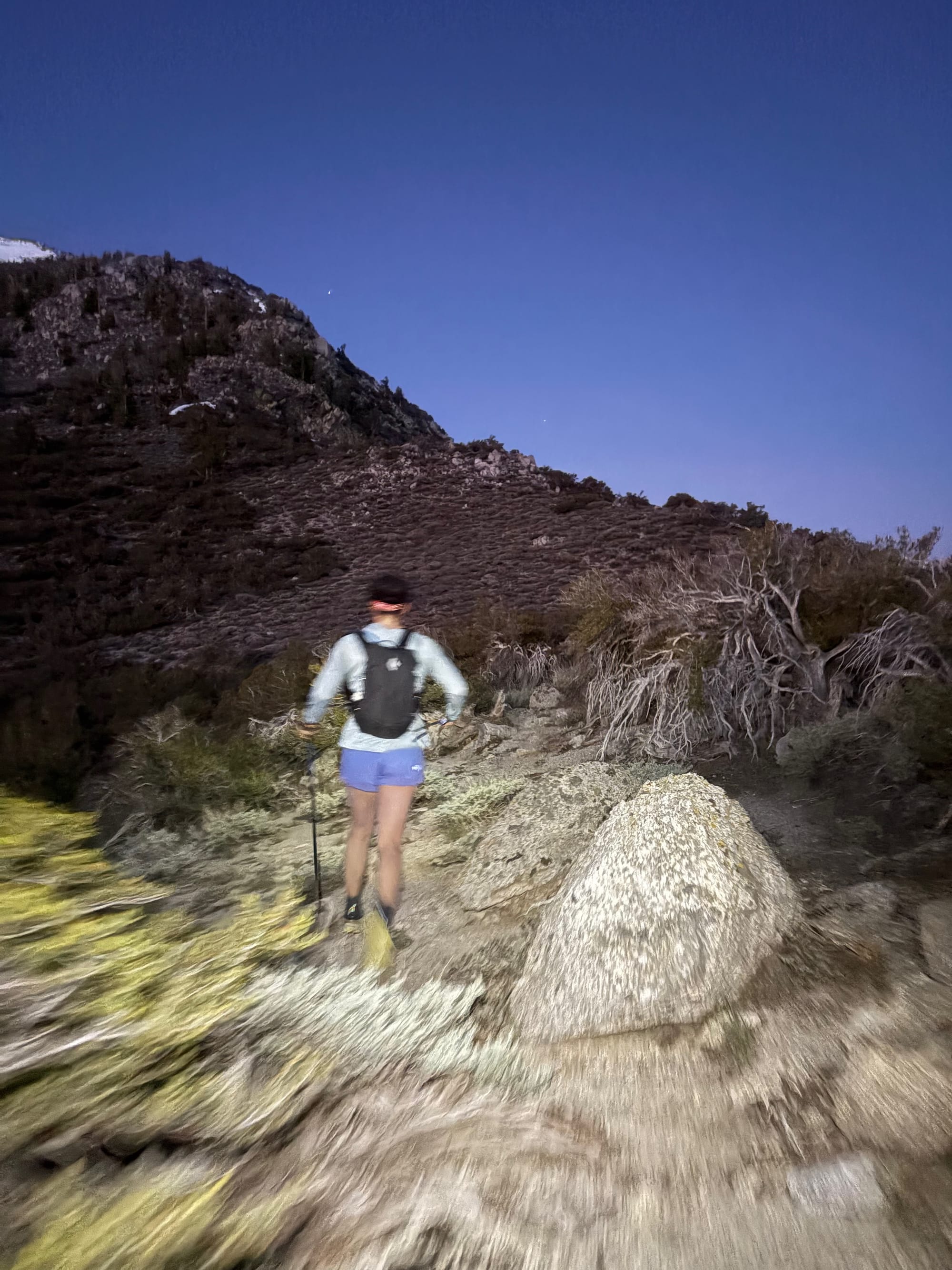
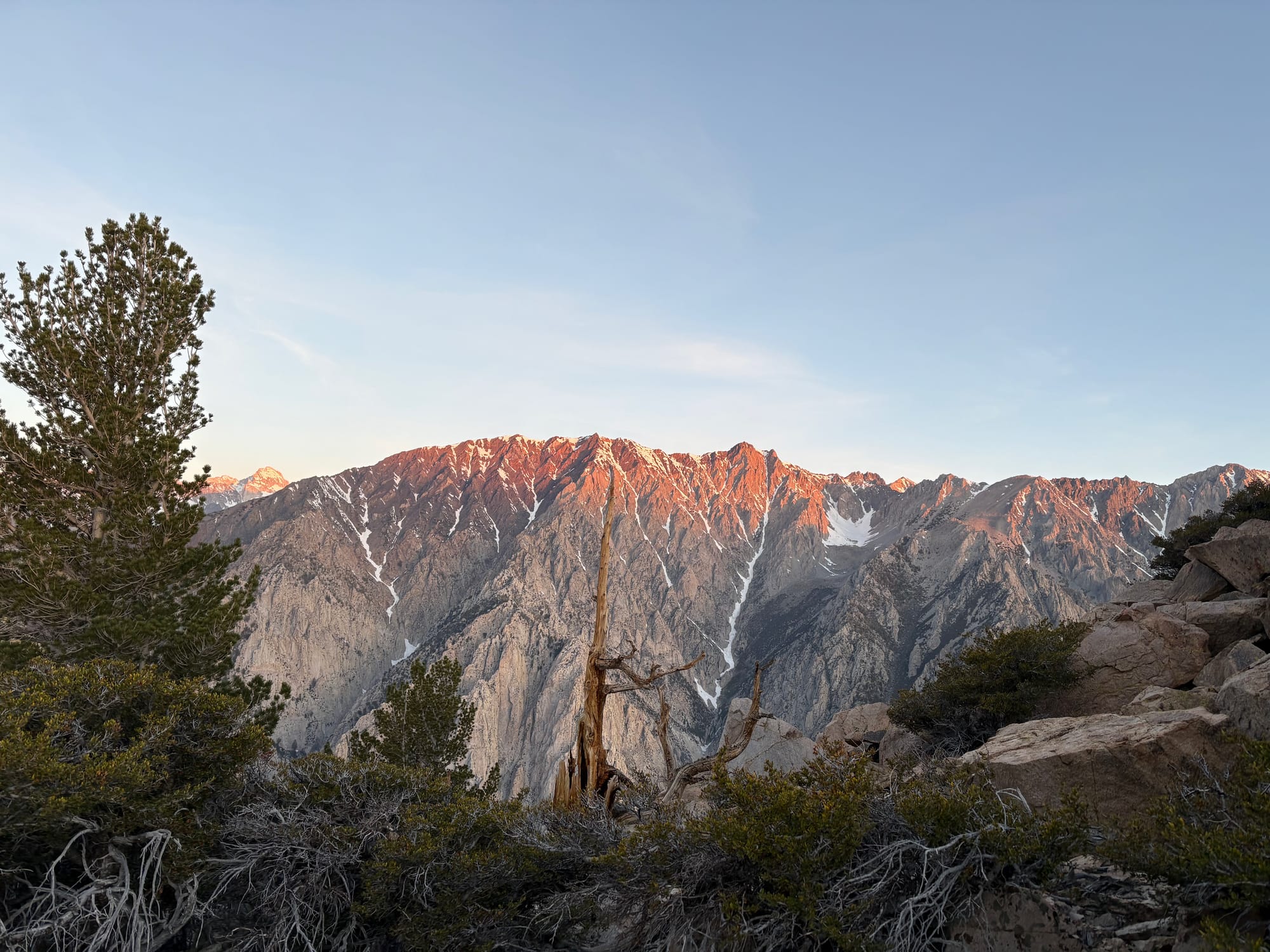
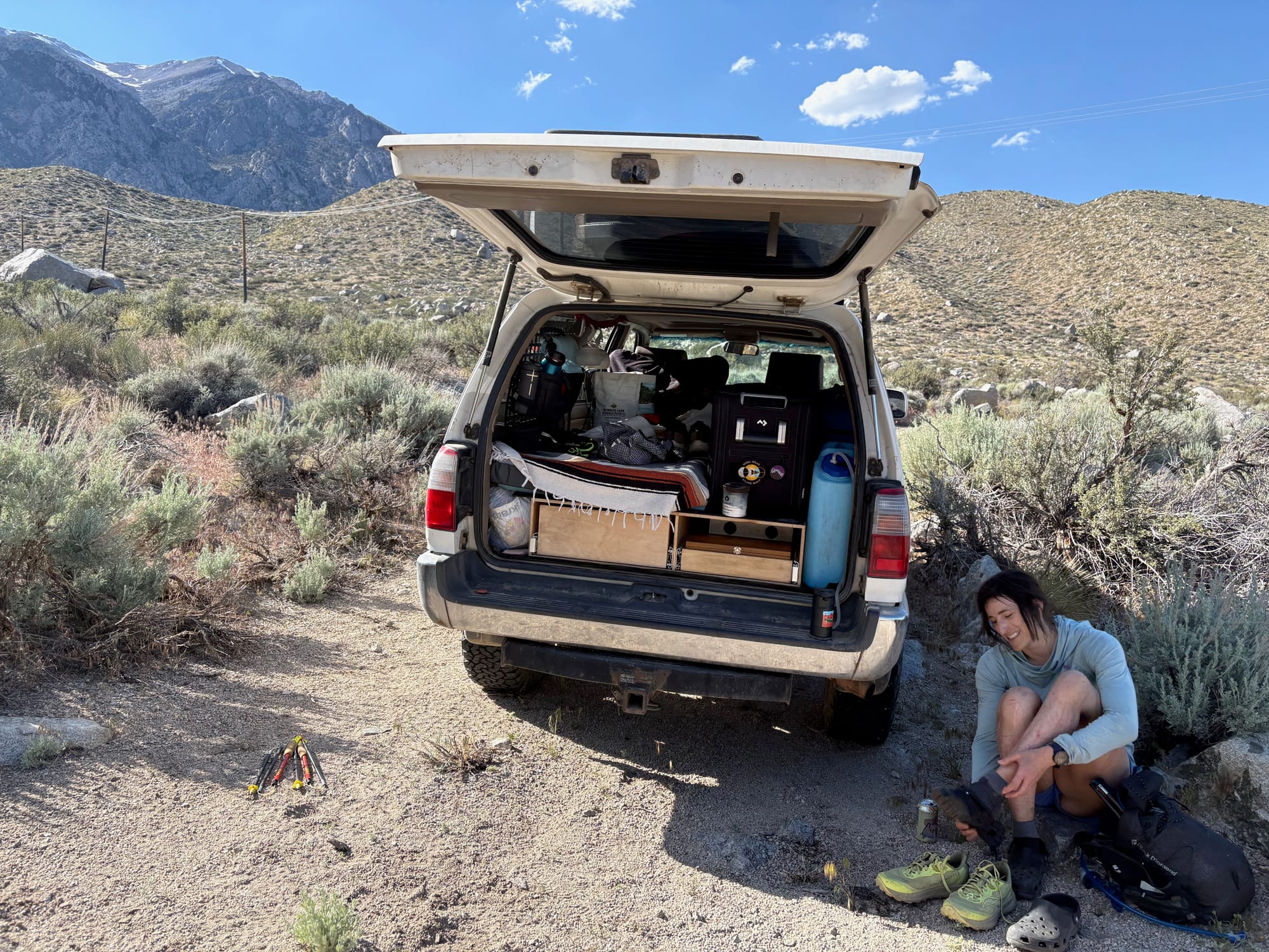
After a bumpy but brief ride to the trailhead in my 4runner, we started out cruising up a fire road that all too quickly disappeared into a maze of sagebrush and boulders. Our ankles and calves paid the price of admission here in the form of many deep scratches from the desert plants that defend the first two thousand feet of elevation gain on Mt Tom. The primary surface here was loose scree, which took away a step of elevation gain for every two that we made. Fortunately, there's something kind of hypnotic to pre-dawn miles that make them melt away in the wash of headlamp light. Seemingly very quickly, we found ourselves witnessing sunrise on a striking 3rd class ridge made up of large, clean granite boulders at 9,500'.
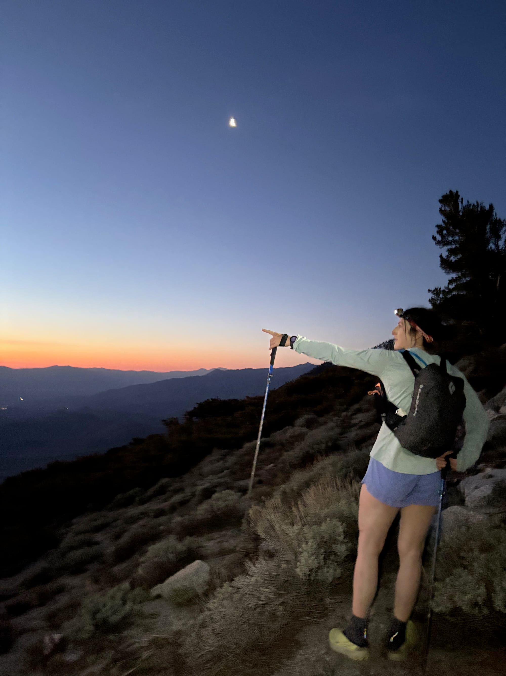
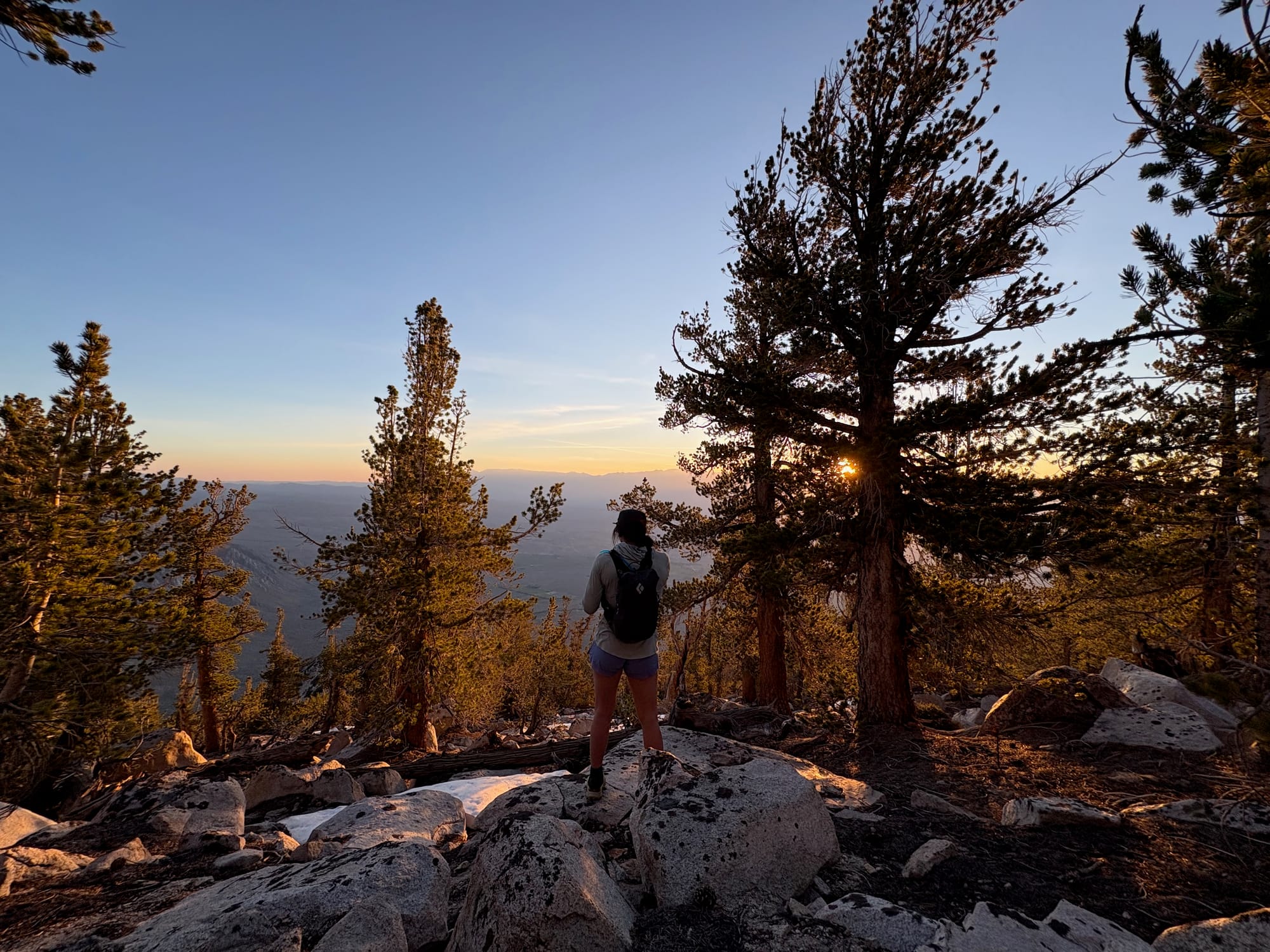
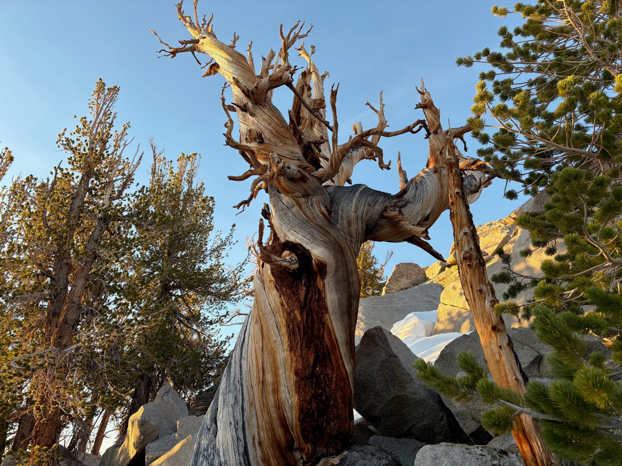
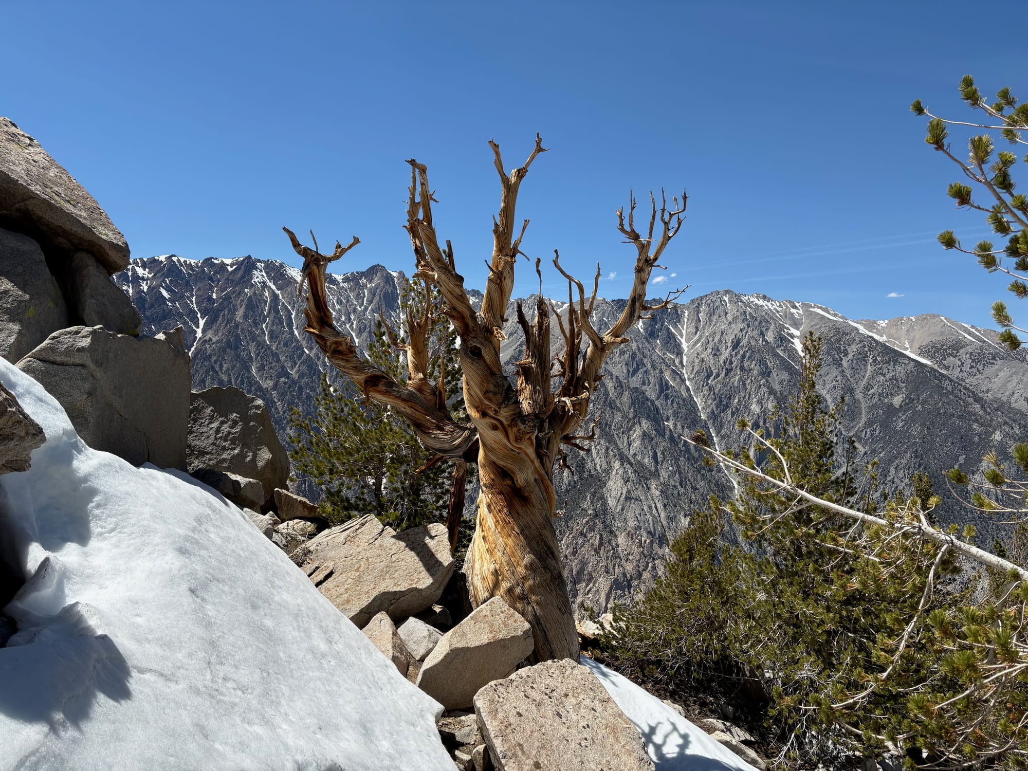
Continuing upwards, granite boulders gave way to pine needle duff as we entered a narrow band of favorable conditions around 10,000' that had allowed large whitebark pine trees to take root. The sun appeared over the horizon, and we began encountering small patches of snow, an encouraging sign that let us relax significantly about our water situation. It was 7am and we were making good time.
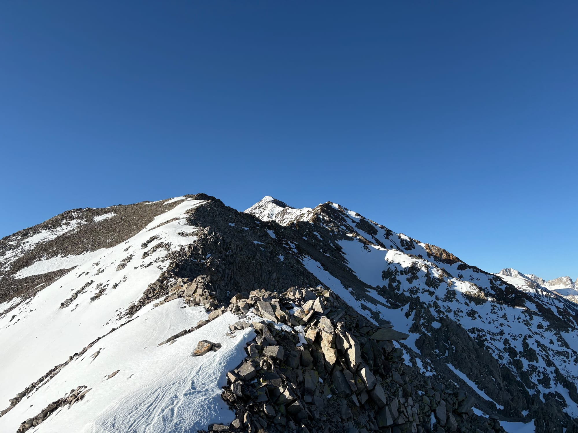
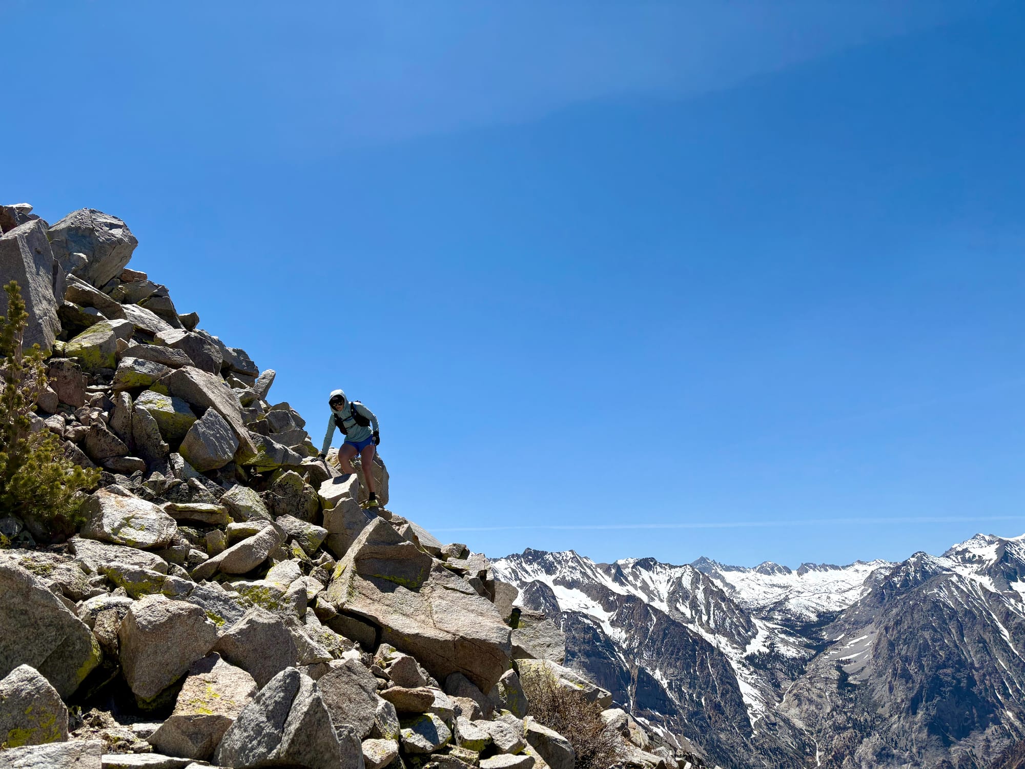
Above the pines at 10.6k' we switched back into scrambling mode as the terrain shifted again to granite blocks, this time sharp and angular rather than rounded. The first of many false summits on the upper ridge came into view at 11.4k', where we stopped to push snow into our water flasks and put on more sunscreen.
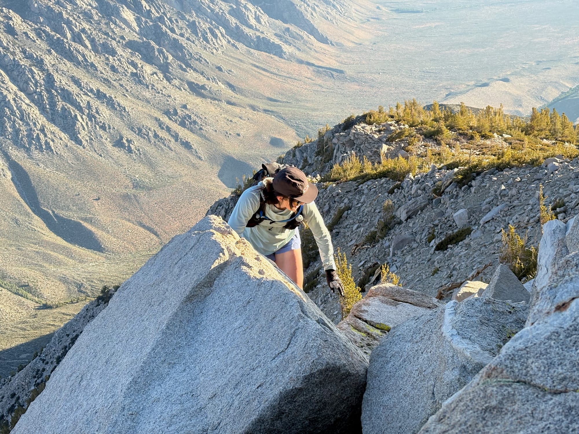
From this point onward, the size of the blocks of talus on the ridge shrank and the hillside became unconsolidated. We stayed close together and moved carefully over large, loose blocks, dodging the snow patches that occasionally obscured the crest of the ridge. Staying directly on the ridgeline as much as possible provided the most solid path, with the rock quality deteriorating dramatically whenever we deviated to one side or another.
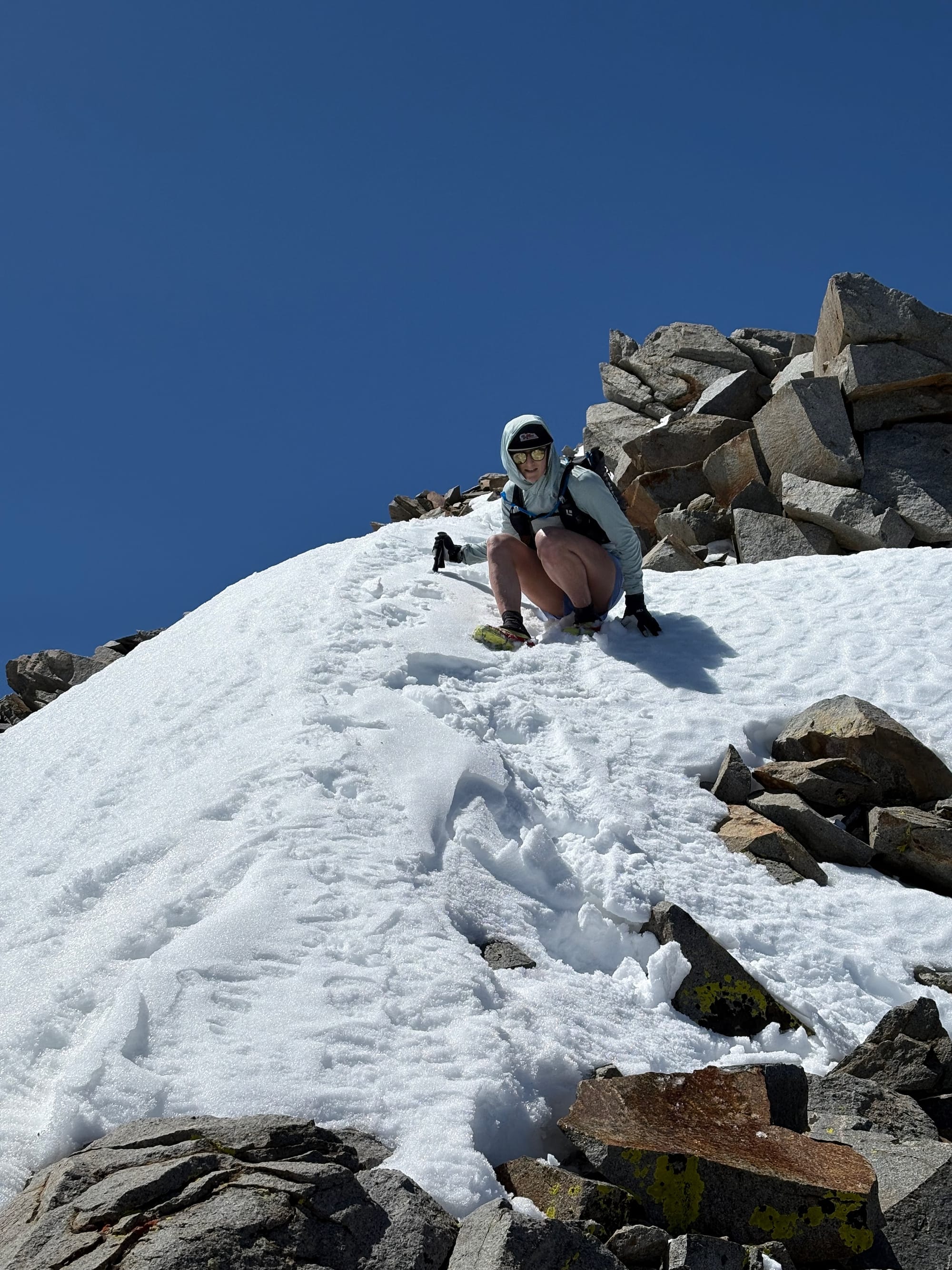
After over a mile of talus-covered ridge, we navigated a series of short but steep snow patches and rock steps to gain the final false summit, then a short traverse on low-angle snow to the true summit. Some of the rock quality here was truly atrocious, with huge flakes the size of plate-glass windows ready to tumble if dislodged.
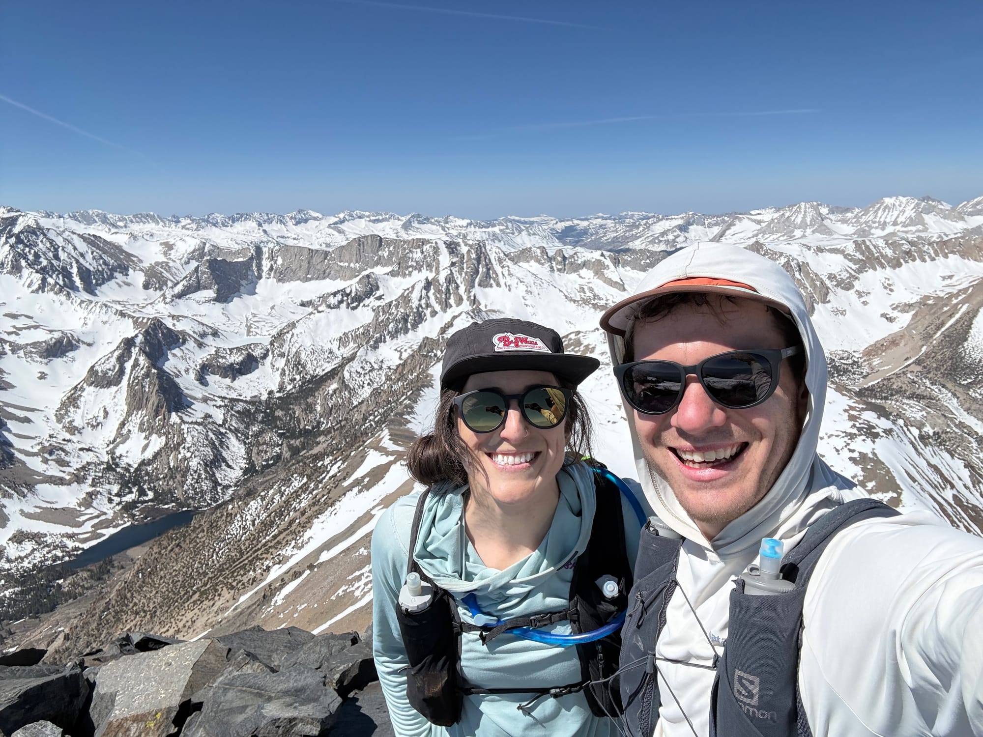
We arrived at the summit at 10:30am in sun hoodies, having stayed on the true ridgeline from valley bottom to 13k. With the warm temps and a light breeze, it was pleasant enough to stop right on the summit block for an early lunch - PB&J for Kelsey, and a sweet potato quesadilla for me. We chatted, took a summit selfie, and mentally prepared for the trip down.
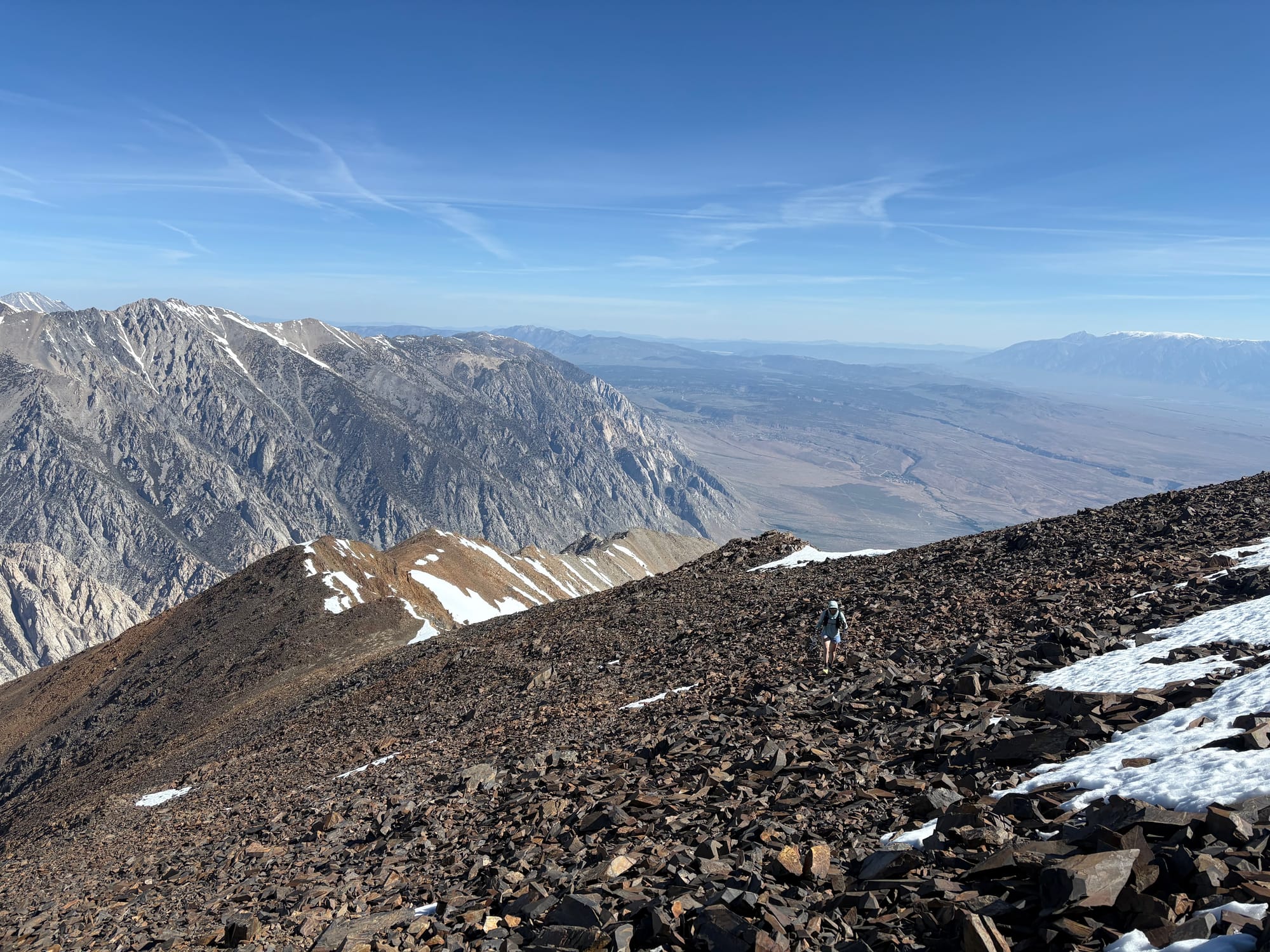
Making our way back down, the talus ridge felt like it took forever but the more technical sections of good rock went much faster on the descent, and we found ourselves back in the pines at 10k' again at 2pm. It felt like the technical part of the route was nearly over, and we both relaxed a bit and prepared for several thousand feet of scree-skiing down the sandy lower slopes back to the car.
As the rock and pines gave way to scree again, the ridge became wider and less defined, and we started to deviate from our original line of ascent that we'd taken in the dark in favor of a more direct line that bypassed some of the rock bands we had come up. We had hoped to hit a final snow patch at the bottom of the pines around 9k' to rest and re-stock our water bottles before continuing on to the hot and dry terrain below, but missed our chance. It was at this point, where we were hot, sandy, and mentally ready to be back at the car, where we made our first and only routefinding error.
Preferring to stay on soft sand and scree rather than rock, we stayed right of a innocuous looking rock fin that we had come up on the other side of that morning, only to find ourselves in a drainage that ran directly down the fall line and appeared to cliff out about 1,000' below us. The rock quality of the fin that had led us astray was bad enough to make traversing across it to our original trail difficult, but after some exploration and taking a pause to talk it over and decide on the best and lowest-risk path, we were able to find a notch and gully that allowed us through with only a few low-5th-class moves to put us back on course.
The thousand feet of descent through thick sagebrush gave us more than a few new gouges in our legs, but being able to see my car getting closer and closer was strong motivation, and as the terrain leveled out we were able to run the final half mile on relatively easy downhill terrain. Starting at 3:15am and finishing at 4:30pm, we had completed the North Ridge out and back in 13 hours and 15 minutes.
Even though I'm sure the more typical backside route for Mt Tom via Horton Lakes is probably much more runnable, I truly enjoyed the movement on the North Ridge, especially the clean granite scrambling between 10k' and 12k'. I also can't understate how aesthetic this route is, as someone who spends a lot of time in Bishop with Mount Tom as a constant fixture on the skyline. Every time I look at Mount Tom now, I get to look at the north ridge, feel the satisfaction of having walked, scrambled, post-holed, and run every inch of it, and be reminded of a fantastic day in the alpine with a good friend!
Trail Notes:
- We really nailed the timing on this route; if you want to do it as a summer objective, you need to hit it when the ridge has mostly melted out (to avoid miserable soft snow post-holing) but before the snow has melted so much that it's hard to refill your water flasks.
- Staying as close to the ridge as possible is key to avoiding loose rock. We only got off the ridge proper in order to bypass snow fields, and quickly regained it when we could.
- It's important to be mentally prepared for the numerous false summits, since being on the ridge means that you don't get visual cues that prominent bumps aren't the true summit until you're nearly on top of them.
Gear Notes:
- Scree gaiters for your trail runners and trekking poles that can handle some abuse are a must.
- We chose to do this with microspikes and without ice axes, which felt safe given the soft snow conditions and low-angle snow travel at the summit saddle. If we were doing this earlier in the season, or in colder conditions, I think bringing a lightweight axe and possibly approach crampons instead of microspikes would probably be smart from a safety standpoint.
- Having a water setup that allows you to easily pack snow into it without too much faff is key. We both used a combination of soft bottles and reservoirs that worked quite well for quick pitstop style refilling.