The Wind River High Route, Dixon Variation
The trip started as a late-night conversation in a Vegas hotel in early January. I was on a climbing trip to Red Rocks, and my friend Natalie mentioned that she was thinking about doing some backpacking in Wyoming this summer and did I want in? I said yes.
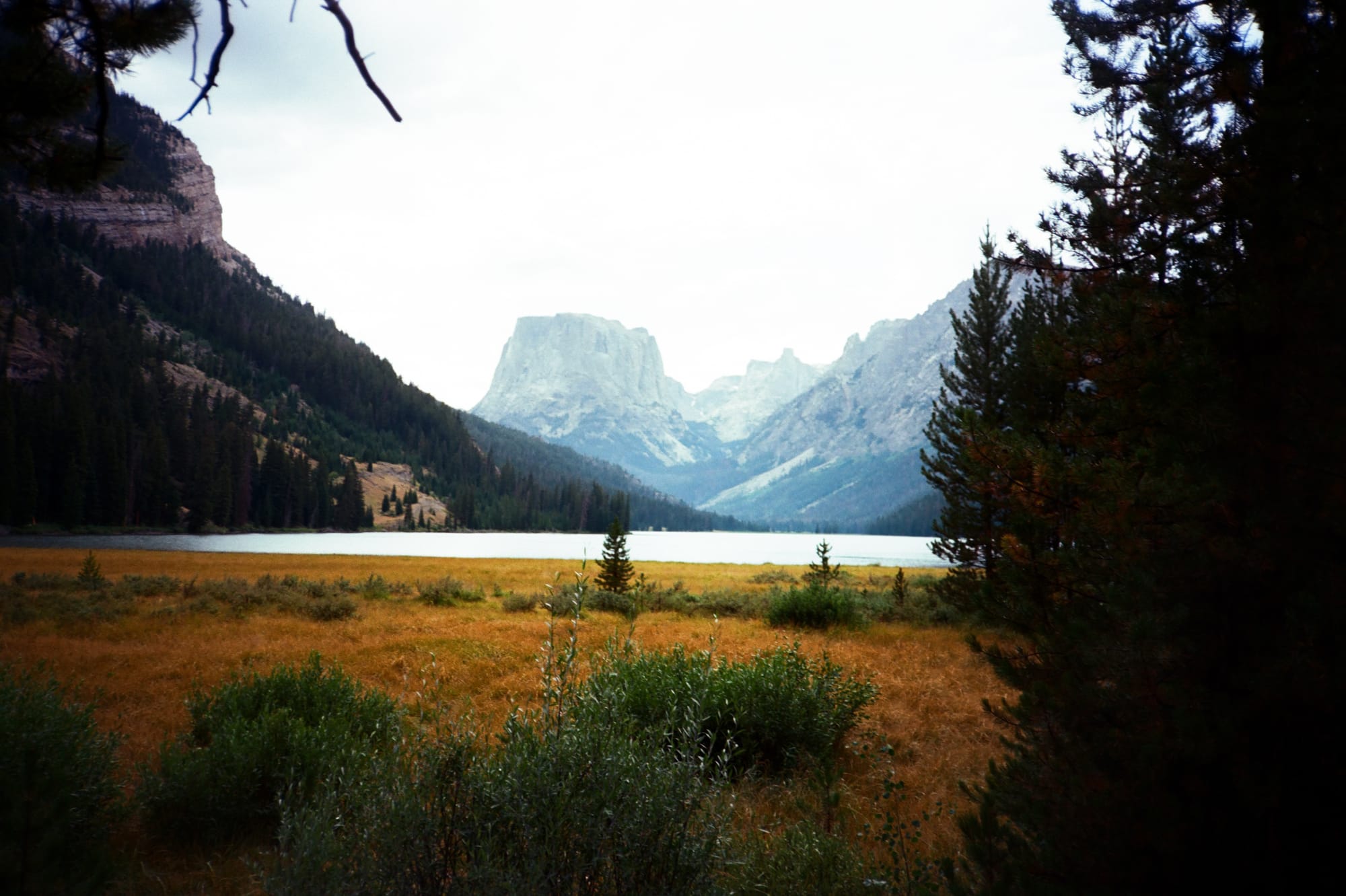
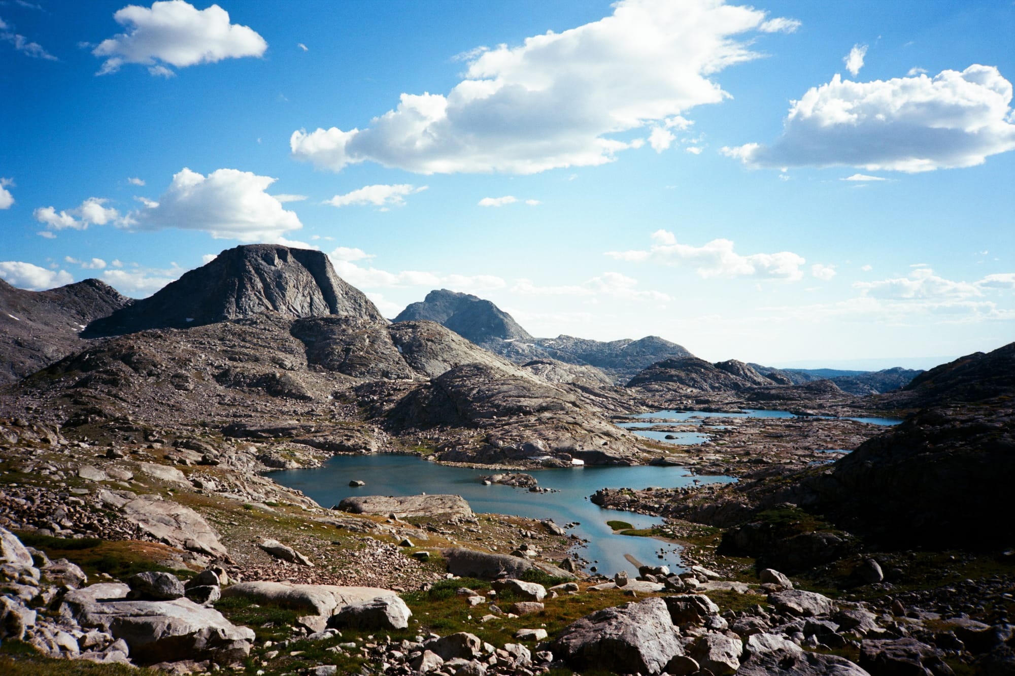
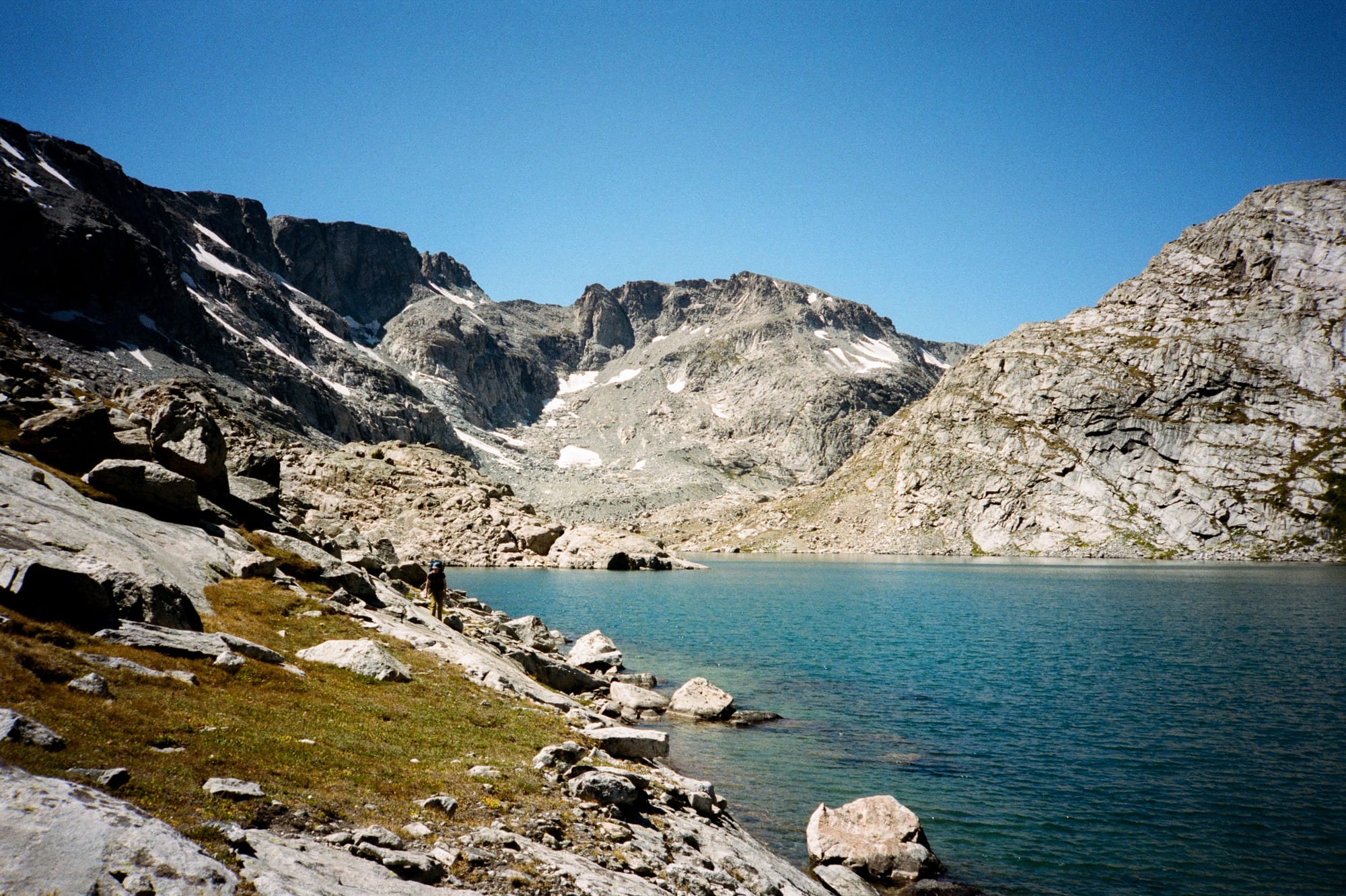
The Wind River Range sits north-northwest of Lander, WY. I had done a fair amount of climbing in Wyoming, and had even hung out in Lander before to climb at Wild Iris, but I'd never been in the Winds. I had always been curious though. The quality of the rock climbing in the area is legendary, and the mountains themselves are striking granite peaks with more relief in the terrain than the Rockies, dotted with expansive and clear alpine lakes.
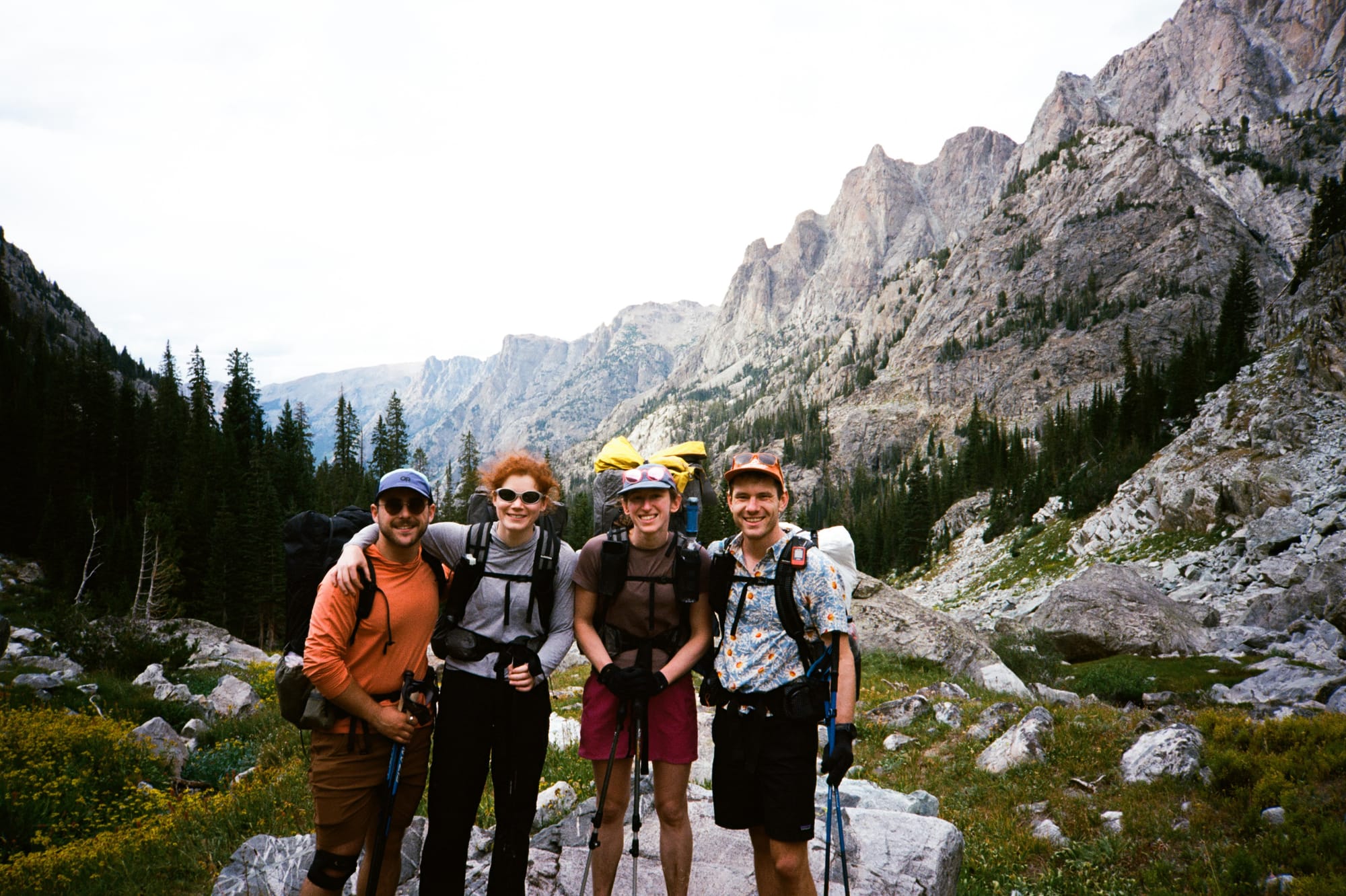
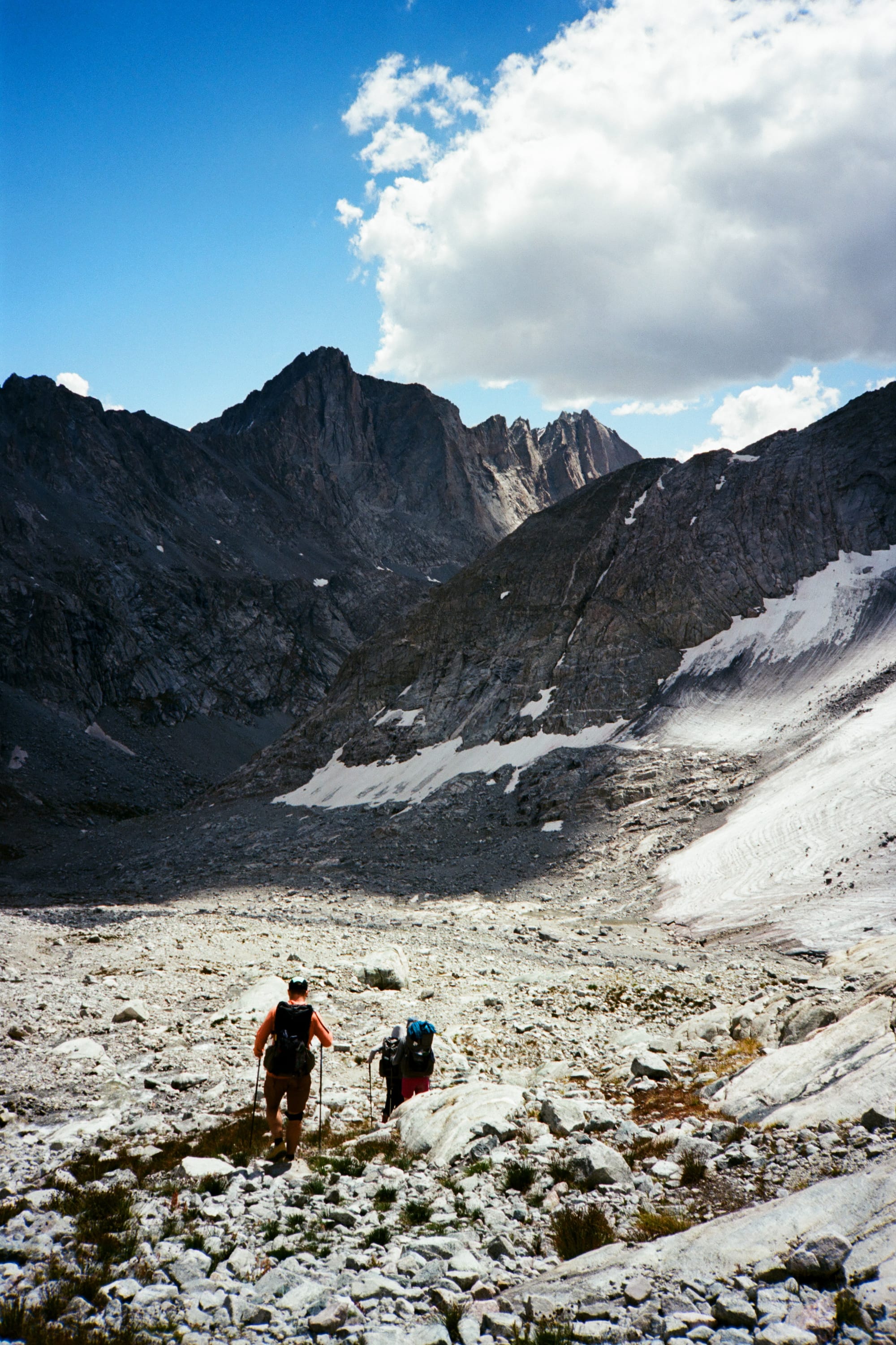
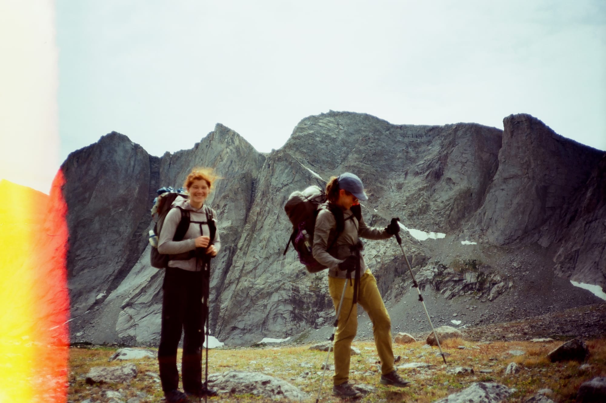
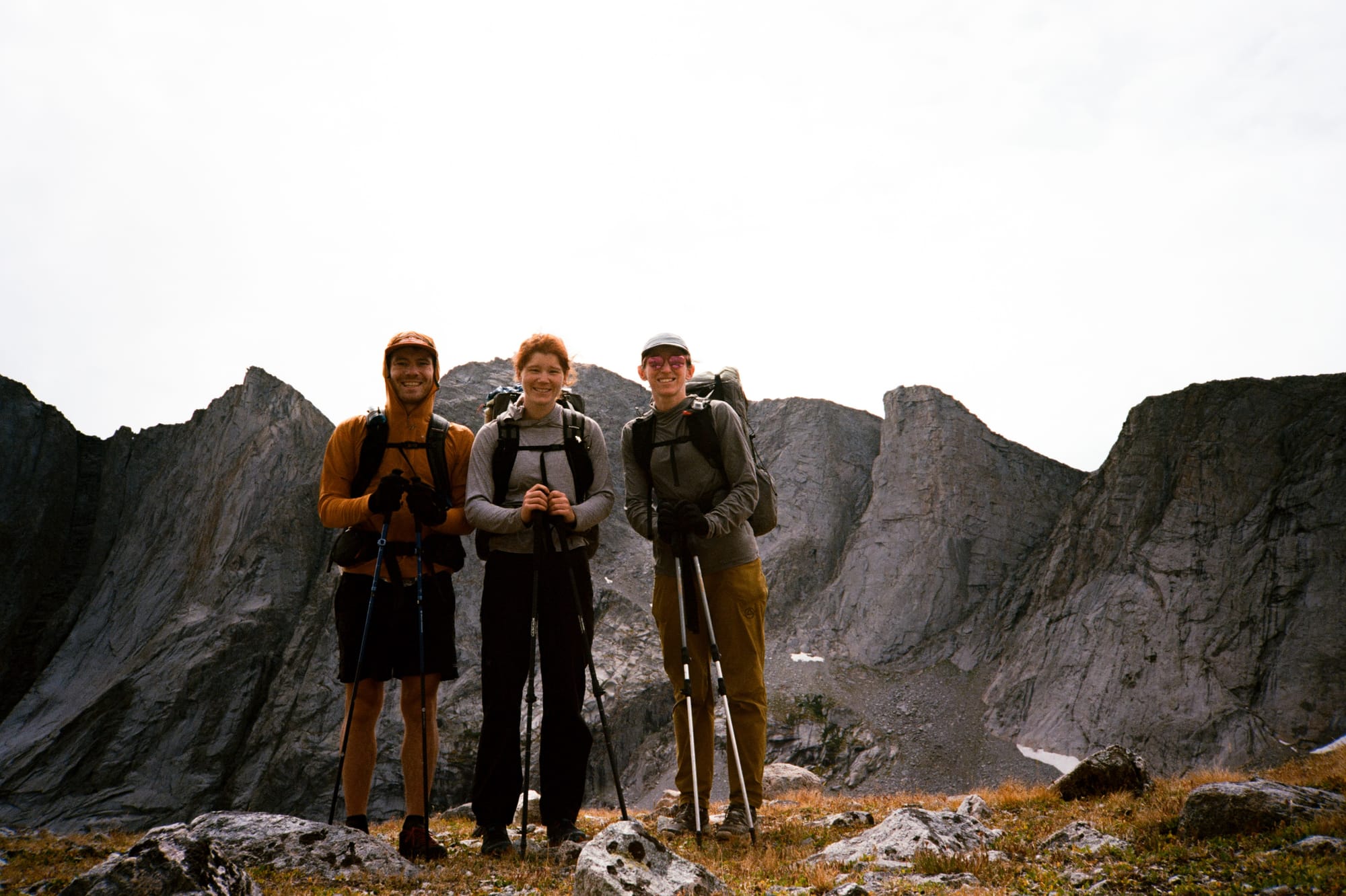
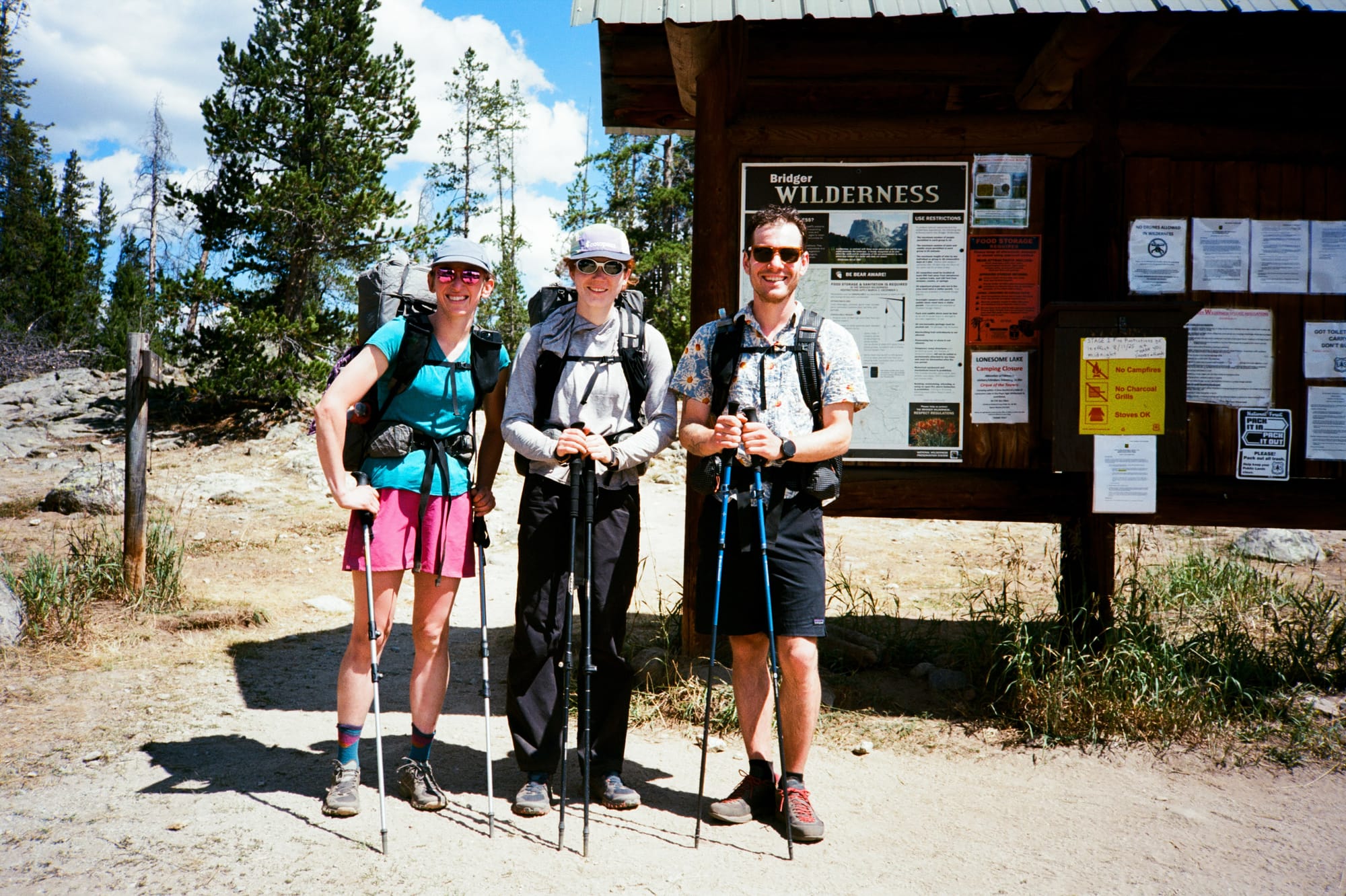
We set out on the Alan Dixon Wind River High Route on August 17 as a team of four. After a bunch of logistics (a long drive from Boulder for myself and Rachel, long flights and a rental car for Natalie and Mikhail) we car camped at Green River Lakes the night before and packed our bags. Day 1 involved a 21.5 mile climb from the Green River Lakes trailhead at 8,000' up to Peak Lake at 10,500', which would have been a fairly brutal start to the trip were it not for the extremely well-traveled and well-maintained trail. This was our only day of fully on-trail travel, with all the rest being some combination of cross-country scrambling, bushwhacking, and talus-hopping.
One of the claims to fame of the WRHR is that it immediately climbs up beyond 10,000' of elevation on the first day and stays above 10k for the remainder of the route, never leaving the high alpine until the final few miles. Two folks in our group wound up using some of the Diamox I'd packed in my medkit with this fact in mind, an altitude medication that I had originally acquired for a mountaineering trip in the Peruvian Andes that same summer. The altitude on this route is not something to brush off, especially if coming from lower elevations.
The highlights of day 1 were the glimpses of the high peaks we got as we climbed up through increasingly steep passes, and the wild raspberries that lined the first 14 or so miles of trail as we moved through river corridors and meadows up into the alpine. This was also one of the only days where we continually saw other hikers - the route we took was shared with a popular CDT alternate, and every 30 to 40 minutes we would pass or be passed by small crews of thru-hikers. After the first ~25 miles, our route would depart from the CDT alternate to begin traveling cross-country through basins with no established trails, and we would see very few other hikers until we exited the range via the popular Cirque of the Towers on our final day.
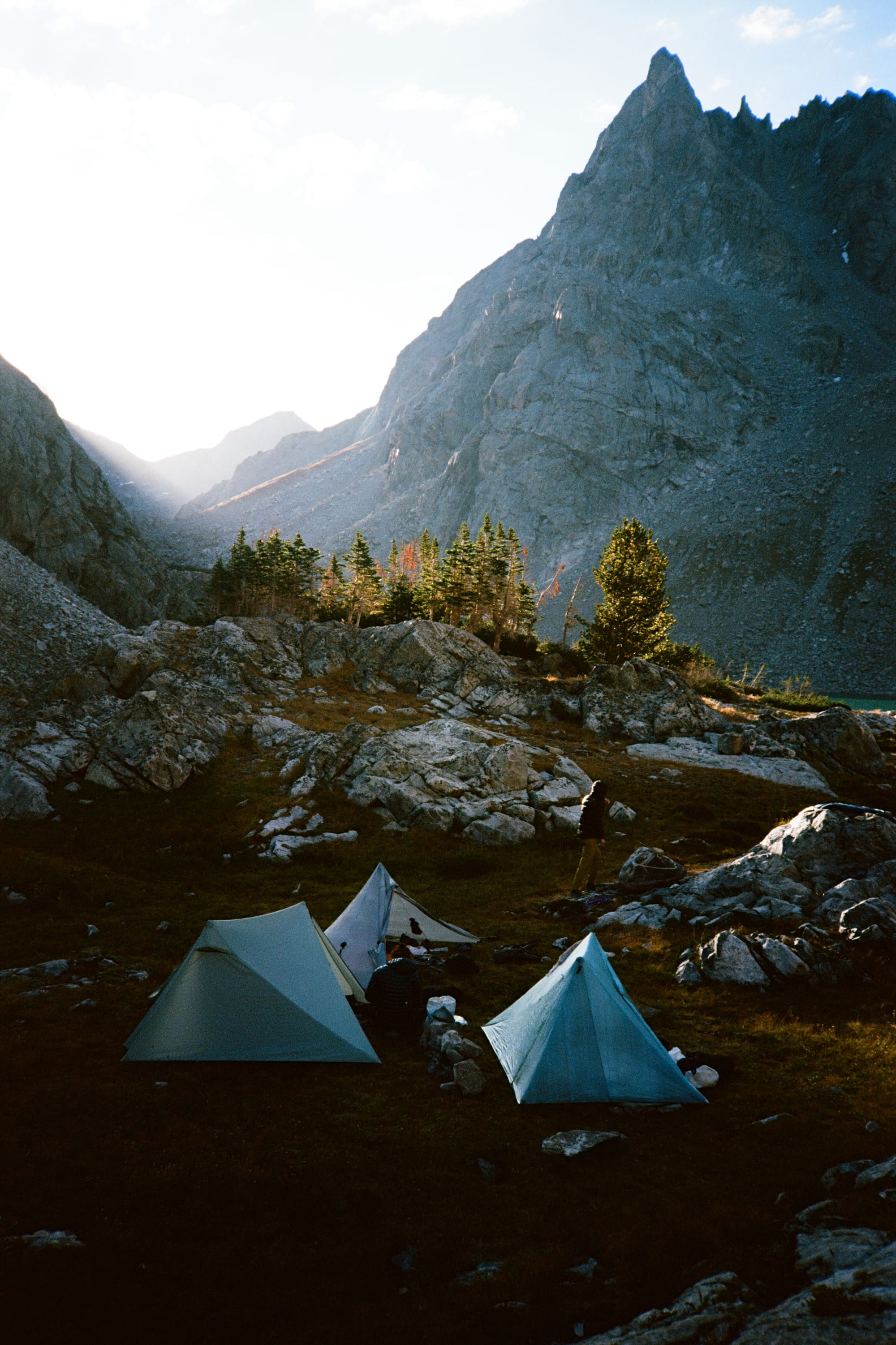
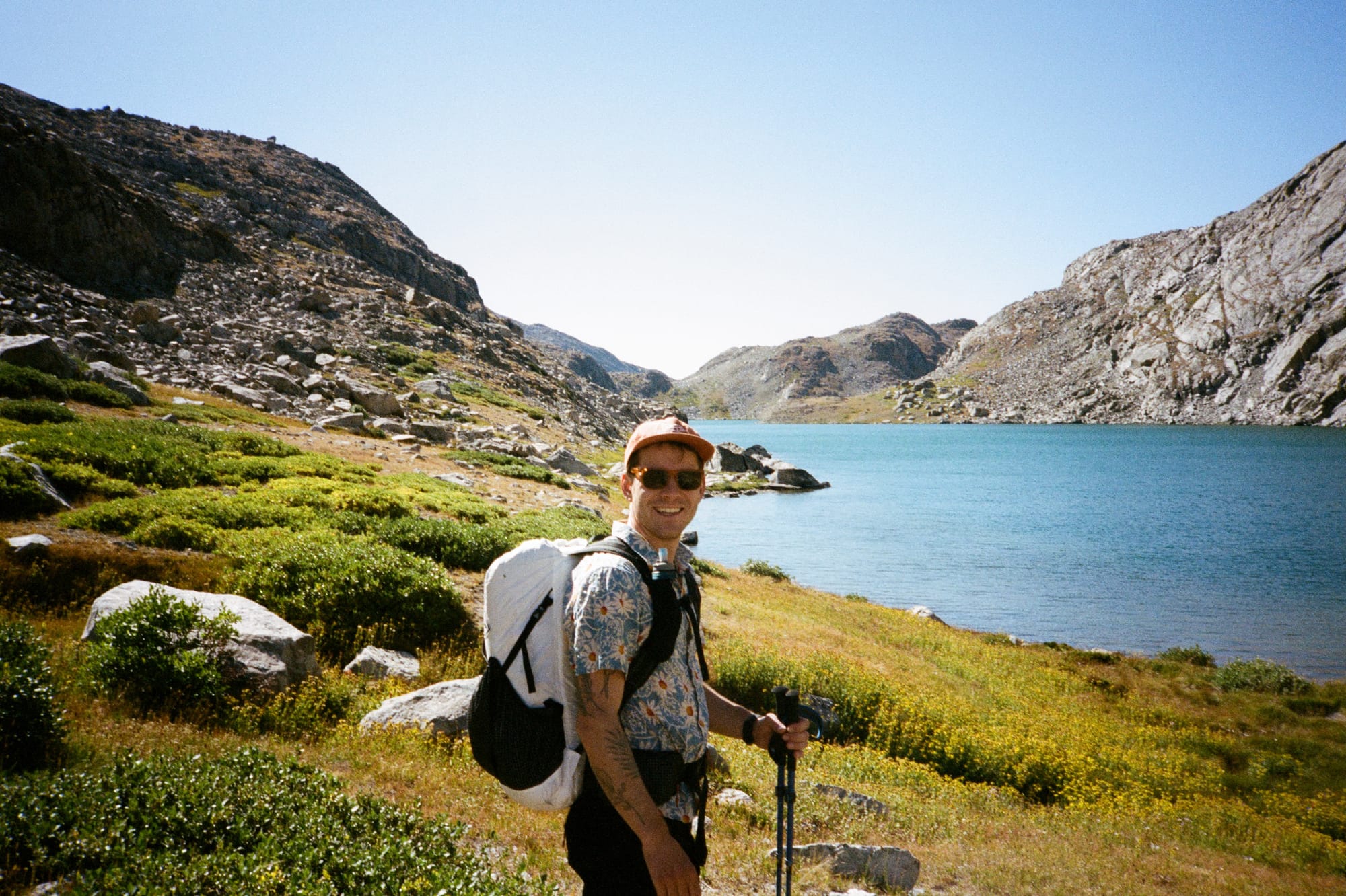
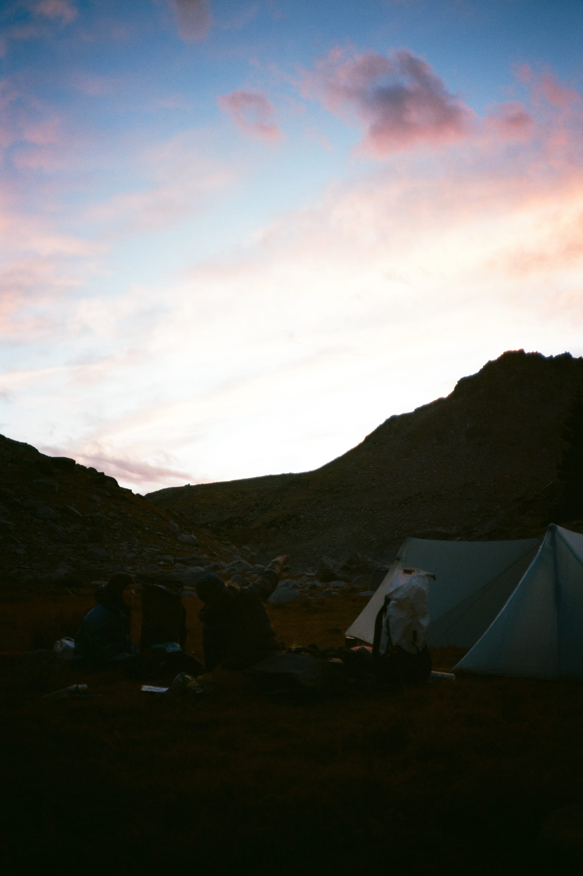
We camped our first night at Peak Lake just before Knapsack Col (one of the nine named passes on the route). The weather was mild and we had plenty of time to cook meals and watch the sun set behind the granite towers of the cirque. I had discovered a slow leak in my sleeping pad the night before and as we made camp on the shore of the lake I tried to locate and patch it without success. I'd spend the rest of the nights of the trip waking up to cold ground every 3-4 hours as the air imperceptibly leaked out of the pad from some fault too small to track down. It wasn't too much of a hassle to re-inflate and then pass out again, but I felt dumb for not checking the pad for leaks beforehand, especially since I had an identical spare in my closet.
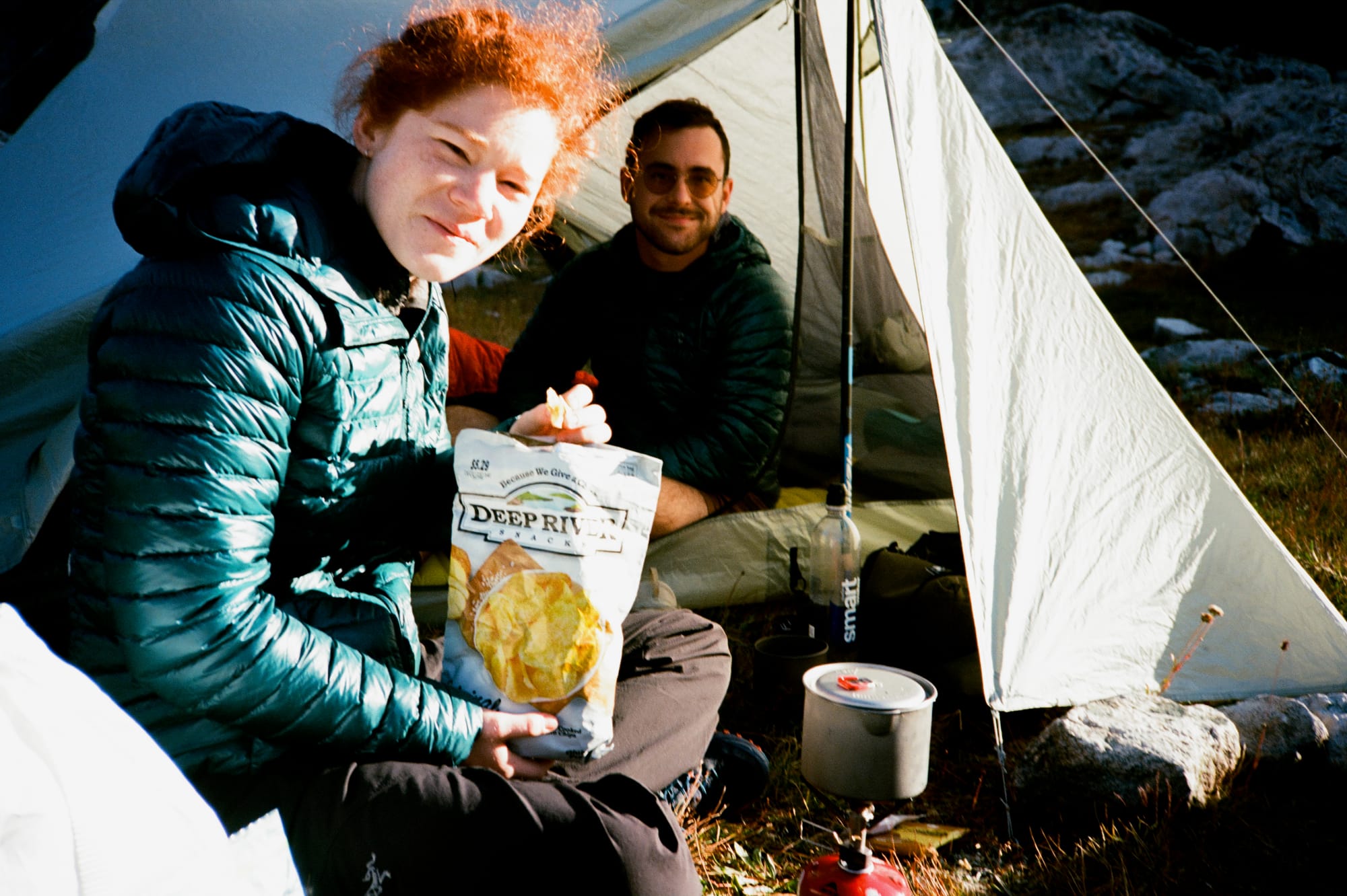
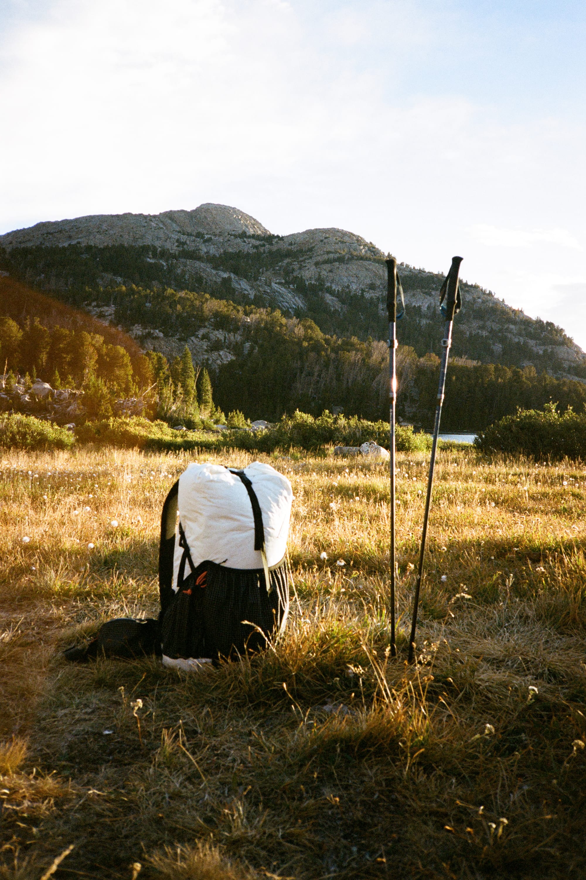
Day 2 started out clear but cold. With a lot of ground to cover, we were hoping for an early start but it took over an hour to break down camp. I knew we'd get faster as everybody got used to their gear and the rhythm of thru-hiking but it still made me a little nervous. With no resupply options on the route and 90 miles of extremely rugged terrain to cover, we'd all gambled a little bit with how much food we were carrying, trying to balance adequate calories with having a pack weight light enough to not get in our way during the technical scrambling or miles and miles of talus boulder-hopping that was ahead. If we didn't stick to our plan of finishing by early afternoon on day 6, at least two of us would be stuck hiking the extra day without food.
The climb up to the high point of Knapsack Col was fairly straightforward, but the back side of Knapsack was where the true character of the off-trail travel on the Wind River High Route started to show itself. Steep, loose scree off the saddle gradually gave way to blocky talus-hopping along the shore of the Titcomb Lakes. We were glad to pick up a bit of trail from the outlet of Titcomb Basin that threaded us back up into the Indian Basin high country.
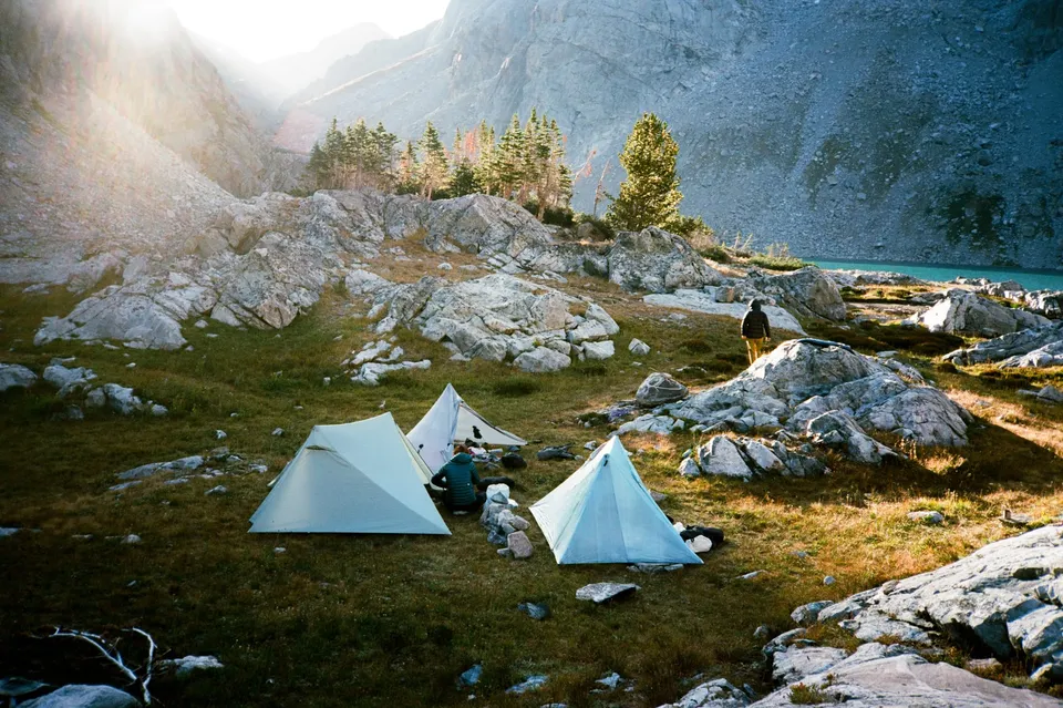
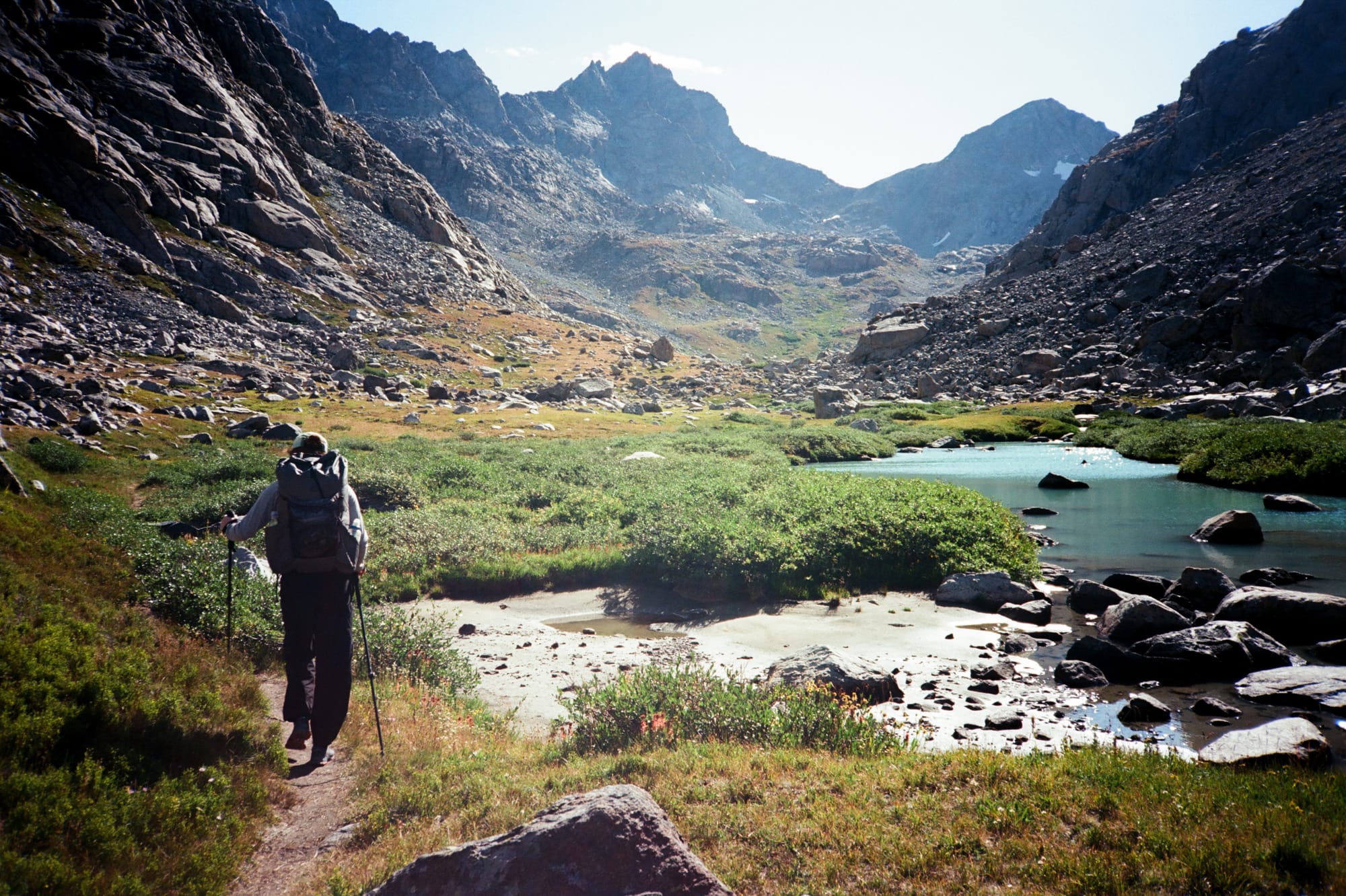
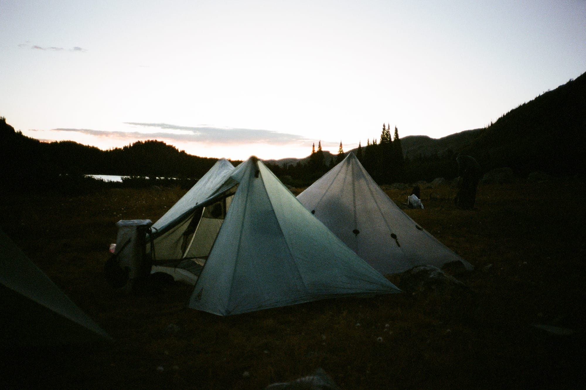
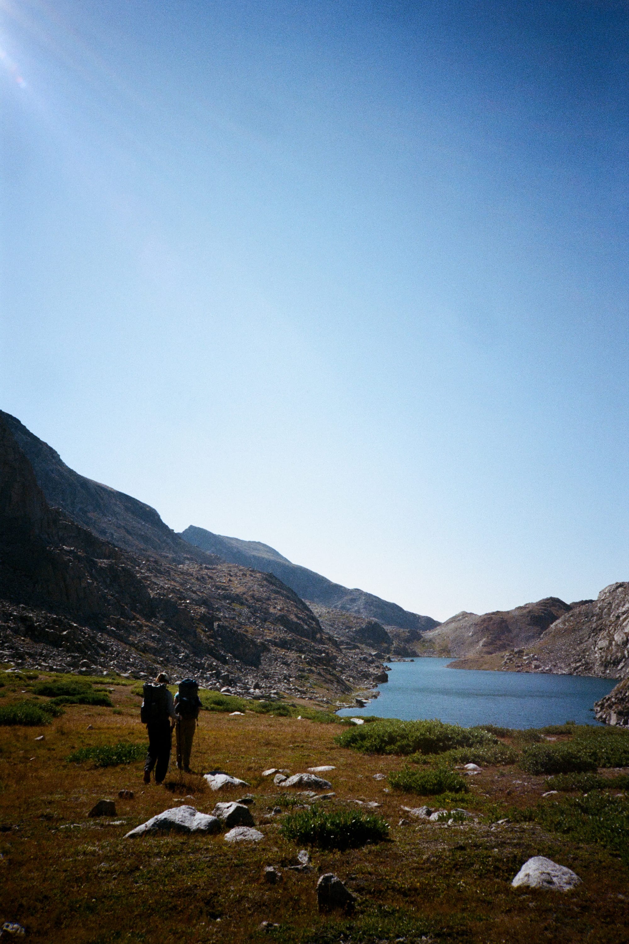
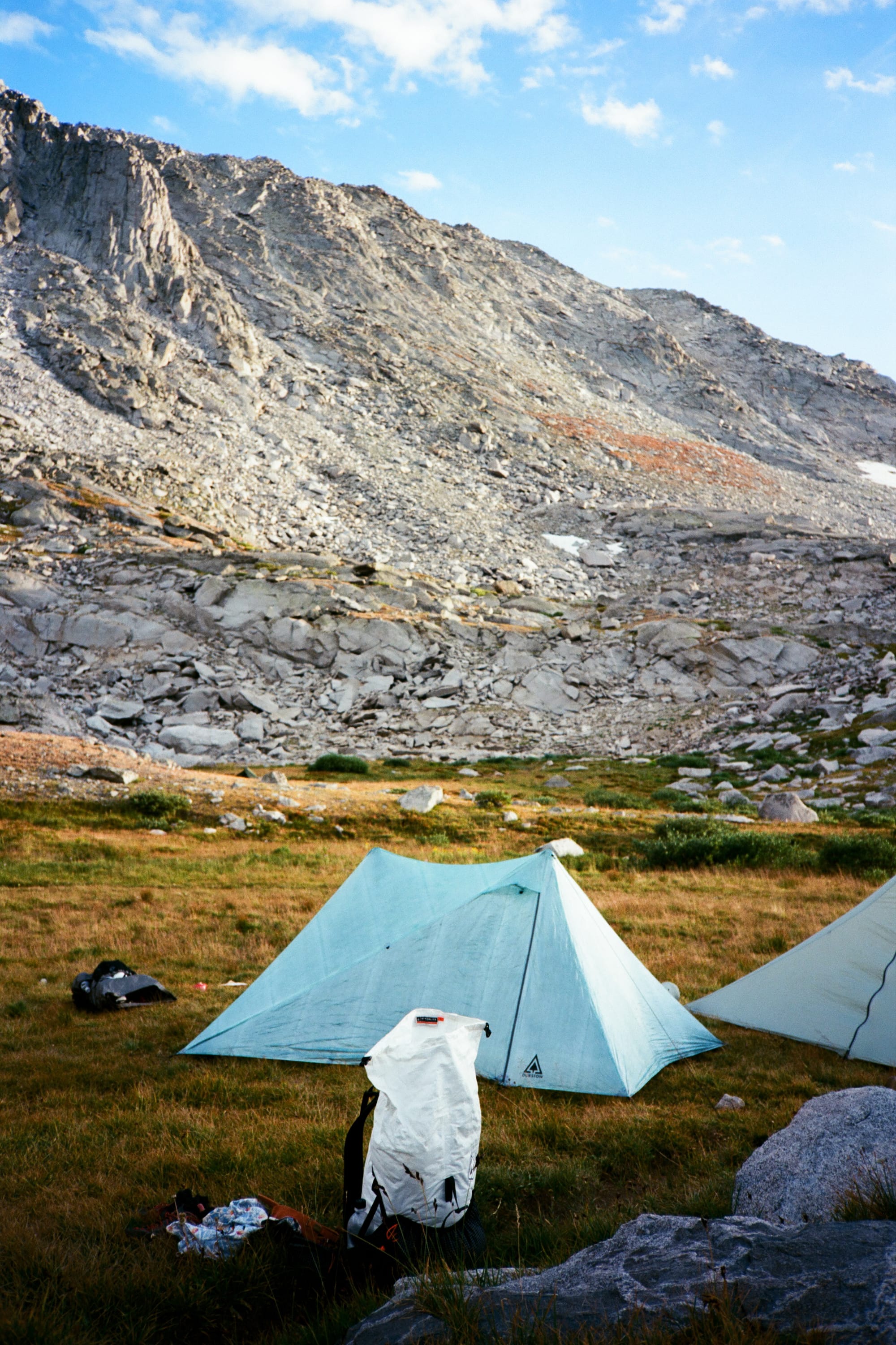
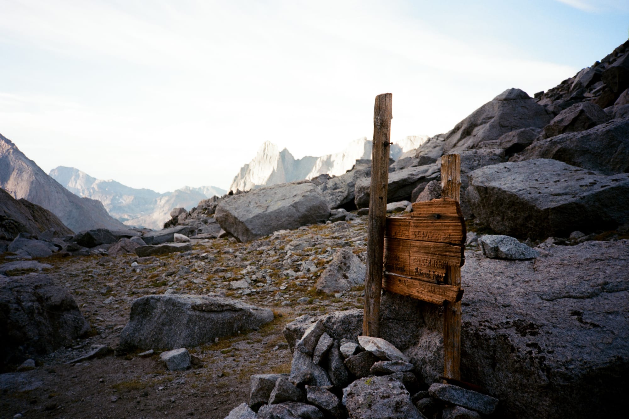
We were aiming for upper Indian Basin as our second night camp location as the ideal staging point for getting over Indian Pass and onto Knife Point Glacier early. Knife Point presented the biggest hazard on our trail, where we'd have to cross a steep slope of ice where a fall would likely result in serious injury. We wanted to cross it as early as possible, before the sun would hit the upper portion of the glacier, sending down high speed rockfall across our path of travel. Unfortunately, the upper portion of Indian Basin is mostly angled grassy rock fields with very few suitable tent locations. With three shelters to pitch this was our most challenging spot to find a good camp location, and I wound up sleeping in a fairly bumpy and somewhat angled patch of grass.
Day 3 was the technical crux of the route. We gained the saddle at Indian Pass using a very well-defined use trail and then did a short but steep descent on snow and talus to reach to edge of Knife Point Glacier. Our route only traveled over the glacier for about a half mile, but rockfall from high above presented the most significant objective hazard for the route, and the surface of the glacier presented late-season conditions, fully icy with almost no chance of self-arrest if we lost our footing. As we were putting our microspikes on, we watched as a lone hiker that had been ahead of us by about an hour going over Indian Pass picked slowly across the glacier. In a hair-raising moment, we saw a refrigerator sized block of granite high on the slope start to accelerate downwards towards his path, dislodged by the sun melting the glacier. It narrowly missed the hiker by maybe 20', and crashed into the talus piled below the foot of the glacier.
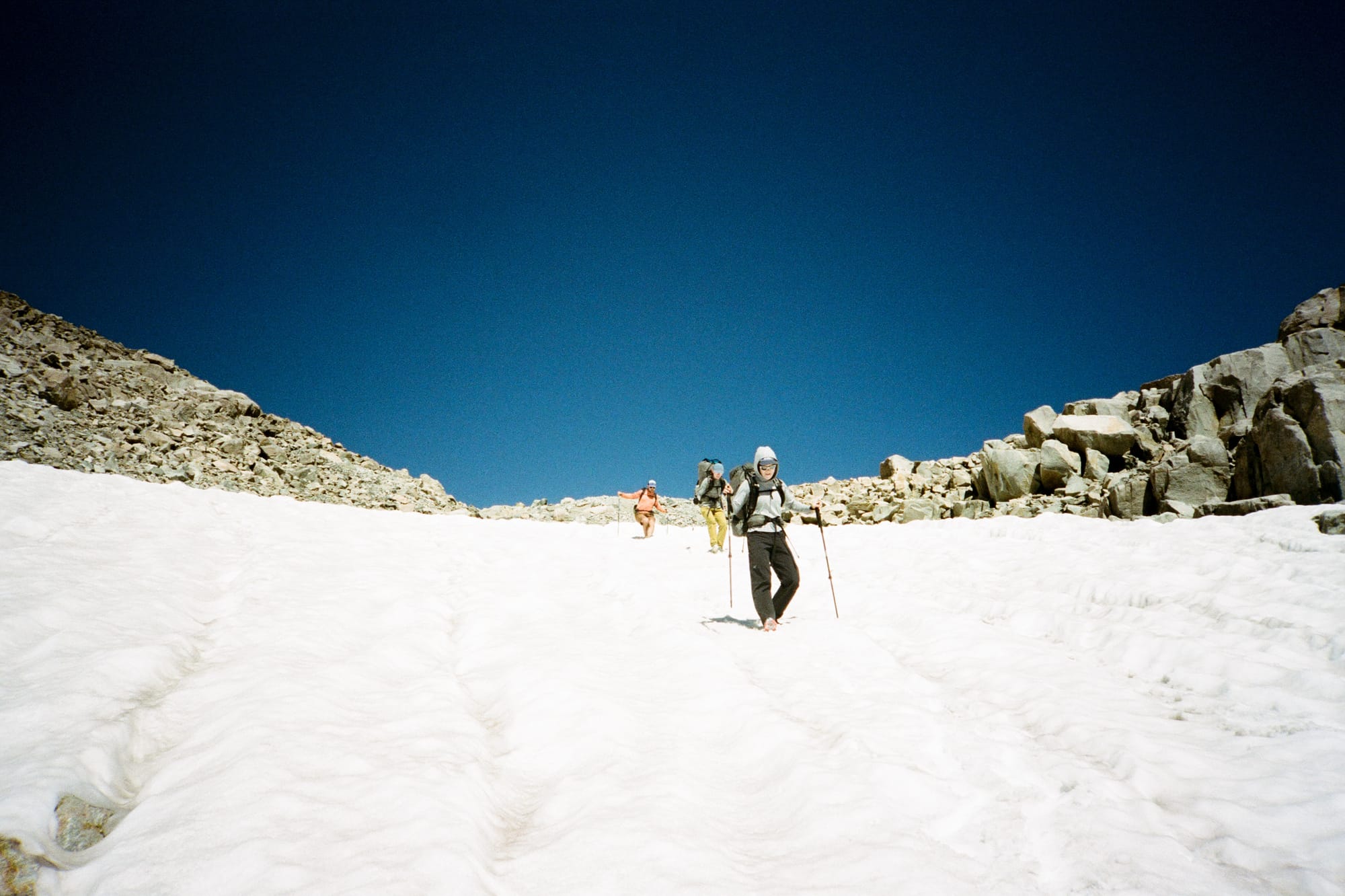
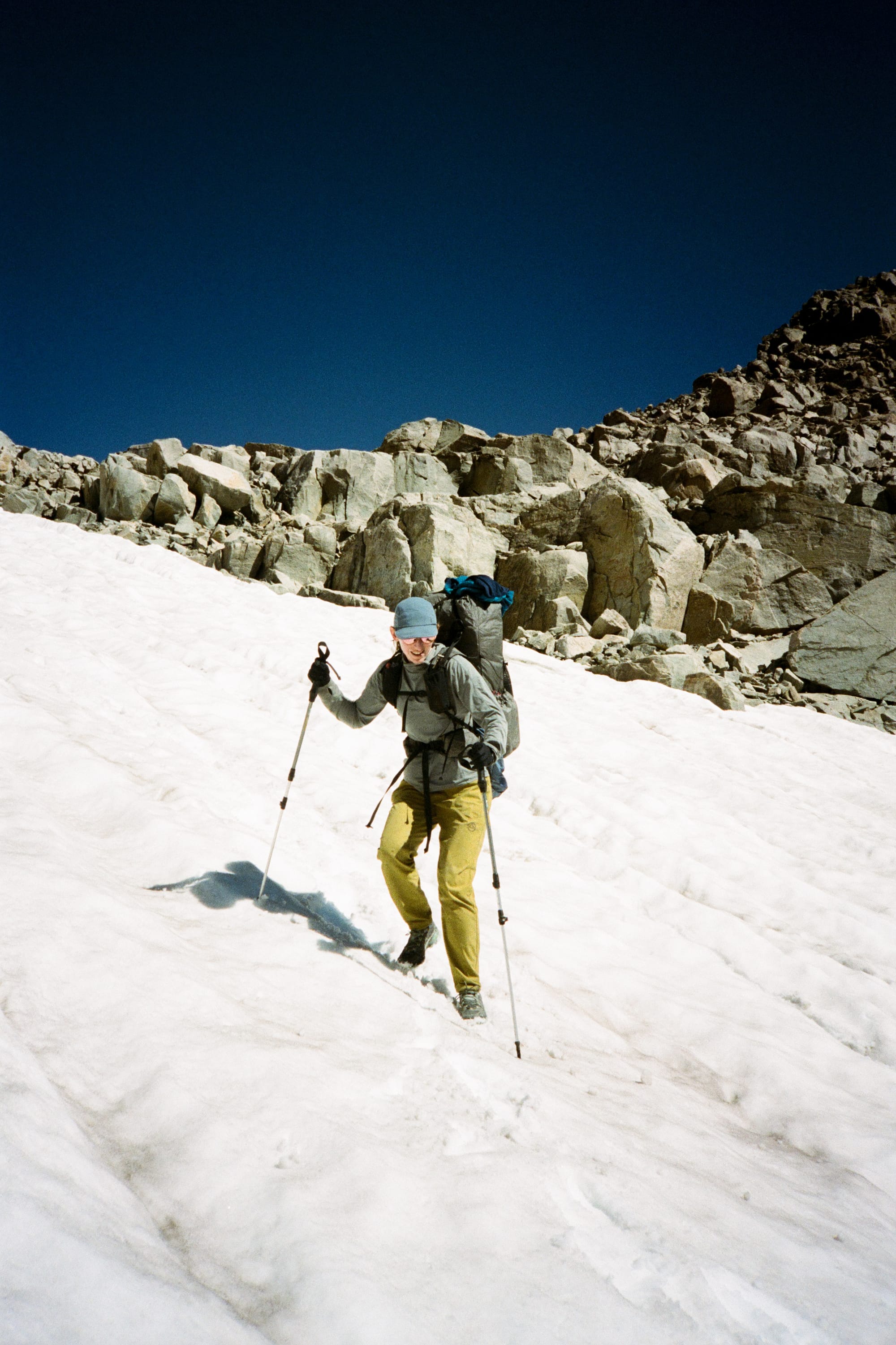
We wasted zero time getting across the glacier. I think we were all very glad to have brought microspikes, even though we had all been on the fence about packing them. Adding 8-10oz of extra weight just to use the spikes for a half mile of travel didn't make a lot of sense on paper, but they allowed us to travel much faster and with much more secure footing across the glacier which felt pretty meaningful given the episode we had just witnessed with the other hiker narrowly avoiding rockfall.
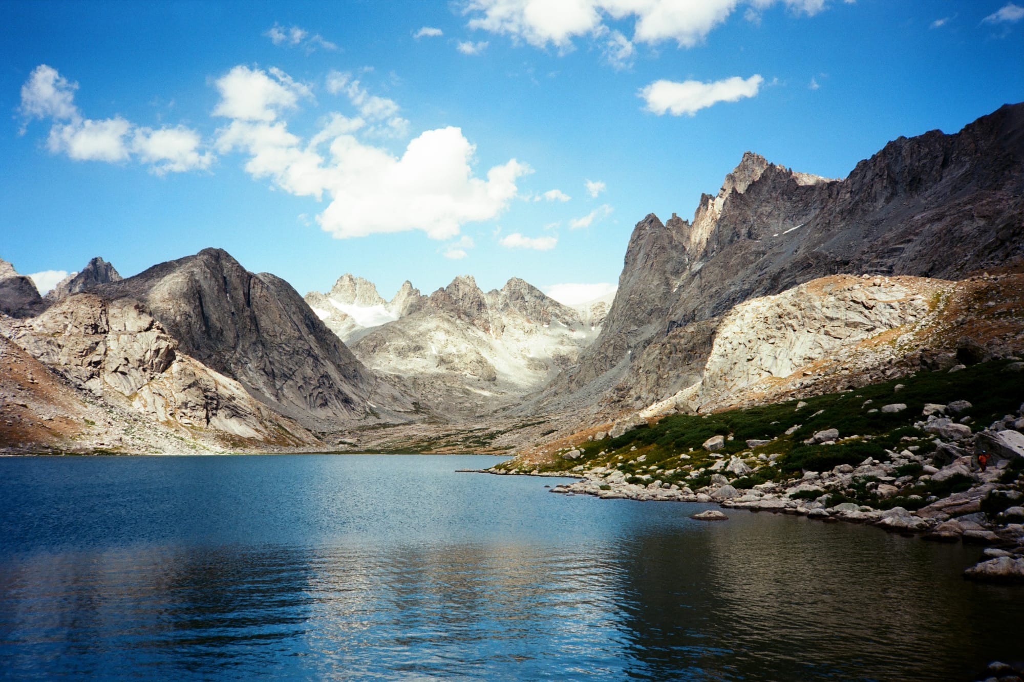
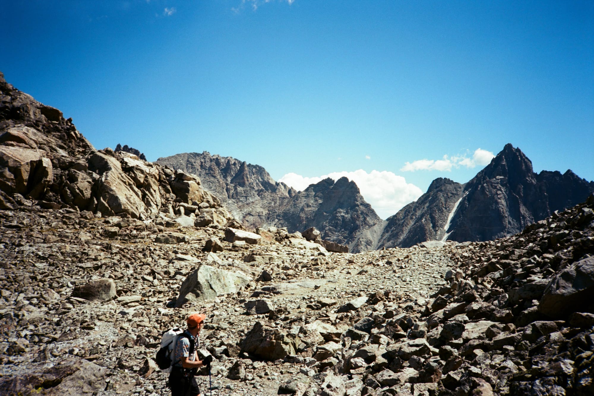
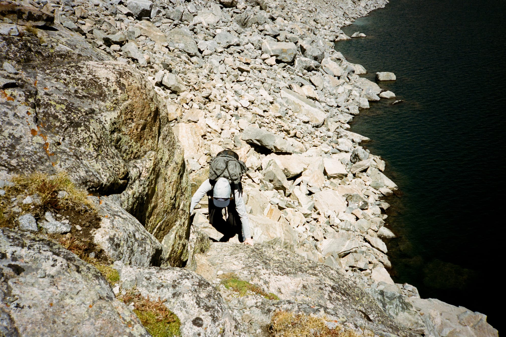
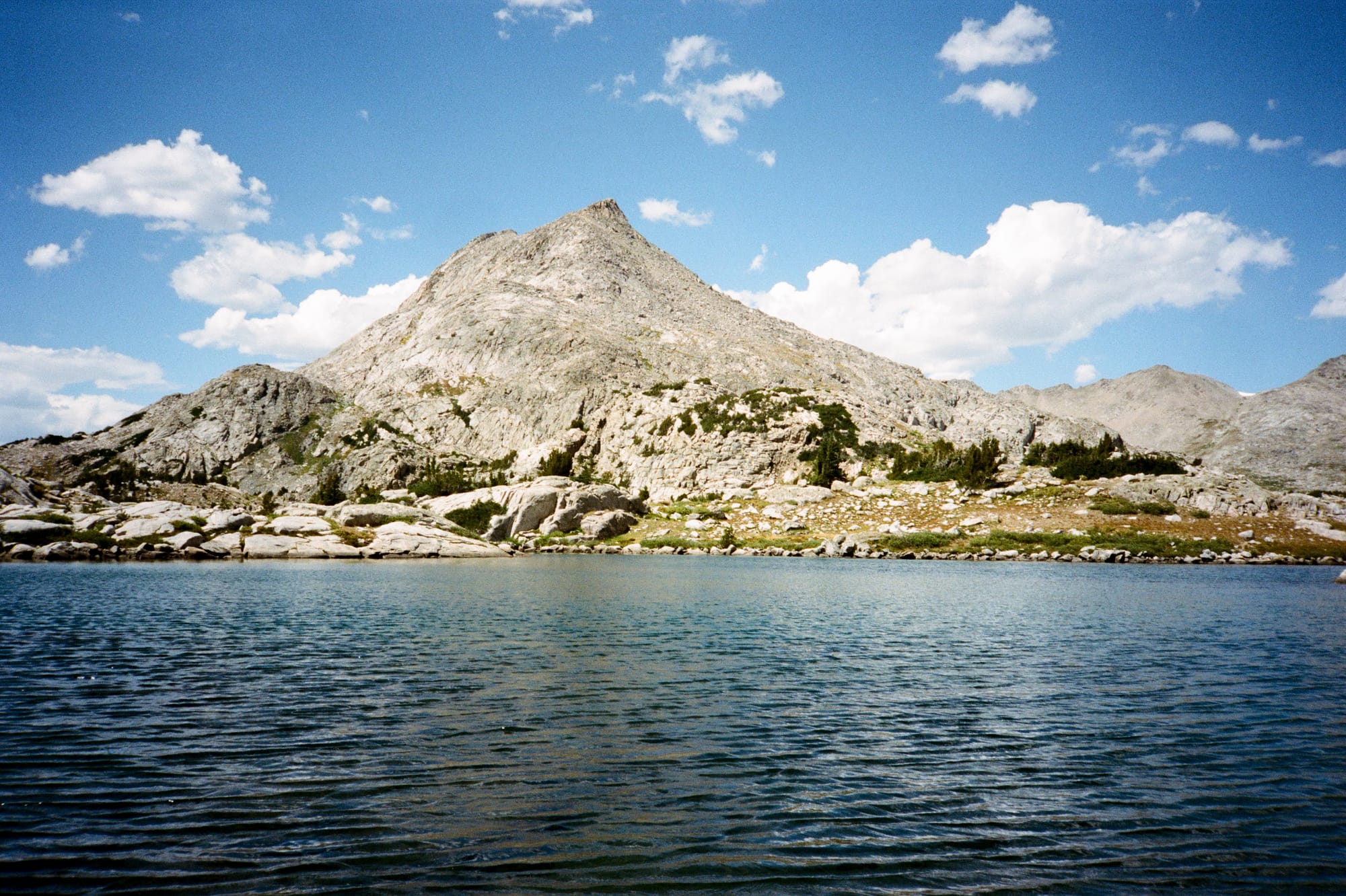
With the glacier out of the way, we still had a pretty big day ahead of us. We exited the Knife Point Glacier basin via Alpine Pass, an exit that originally looked like improbable and unstable talus but turned out to be fairly easy travel. This took us into Alpine Lakes Basin, a chain of beautiful blue lakes lined with steep, unforgiving talus that we skirted along the southwestern shore. On the WRHR, the macro-level routefinding off trail tended to be fairly straightforward, but the micro-level routefinding was intense as we hopped between car-sized blocks of talus and threaded along narrow shelves of 3rd class terrain above the lakes.
At Camp Lake, we picked up the Hay Pass trail and got a break from all the scrambling and talus-hopping. It was a relief to just be able to follow a straightforward trail for a short while, and we threaded our way up the final climb through Camp Pass. The heat of the day, the milage, and the elevation had all taken their toll on Mikhail, though, who hit the wall on this climb. We paused for a moment at Lower Snowbank Lake to collect water, and this was where he pulled off his shoes and charged into the lake to try to cool off. Unfortunately, the bottom of the lake was sharp alpine granite, and in his charge into the lake Mikhail sliced his foot open fairly dramatically. We got him out of the water and found a 3" gash on the bottom of his foot, bleeding slowly but consistently. My first aid kit came into play, and one WMI field dressing and a lot of painful-looking steps later, we eventually arrived to camp at the shore of Golden Lake.
After talking through our options, we decided to split up - Mikhail, who even before his foot incident had been struggling with the altitude, pace, and heat, would take the group's bear spray and one of our two inReach communicators and exit the backcountry via the well-traveled CDT. Meanwhile, Natalie, Rachel, and myself would continue along the WRHR, pushing the pace a little bit to get back on track with our plan to finish by afternoon on day six.
Day 4 began with a climb up what would become my favorite pass of the whole trail, Hay Pass. Instead of harsh talus and scree, the trail up Hay Pass wound up through friendly green rolling terrain with small lakes scattered around the alpine shrubs and grasses. It reminded me quite a bit of the hiking I've done in the Chamonix valley, with morning light folding over the hills and backlighting the vegetation and lakelets.
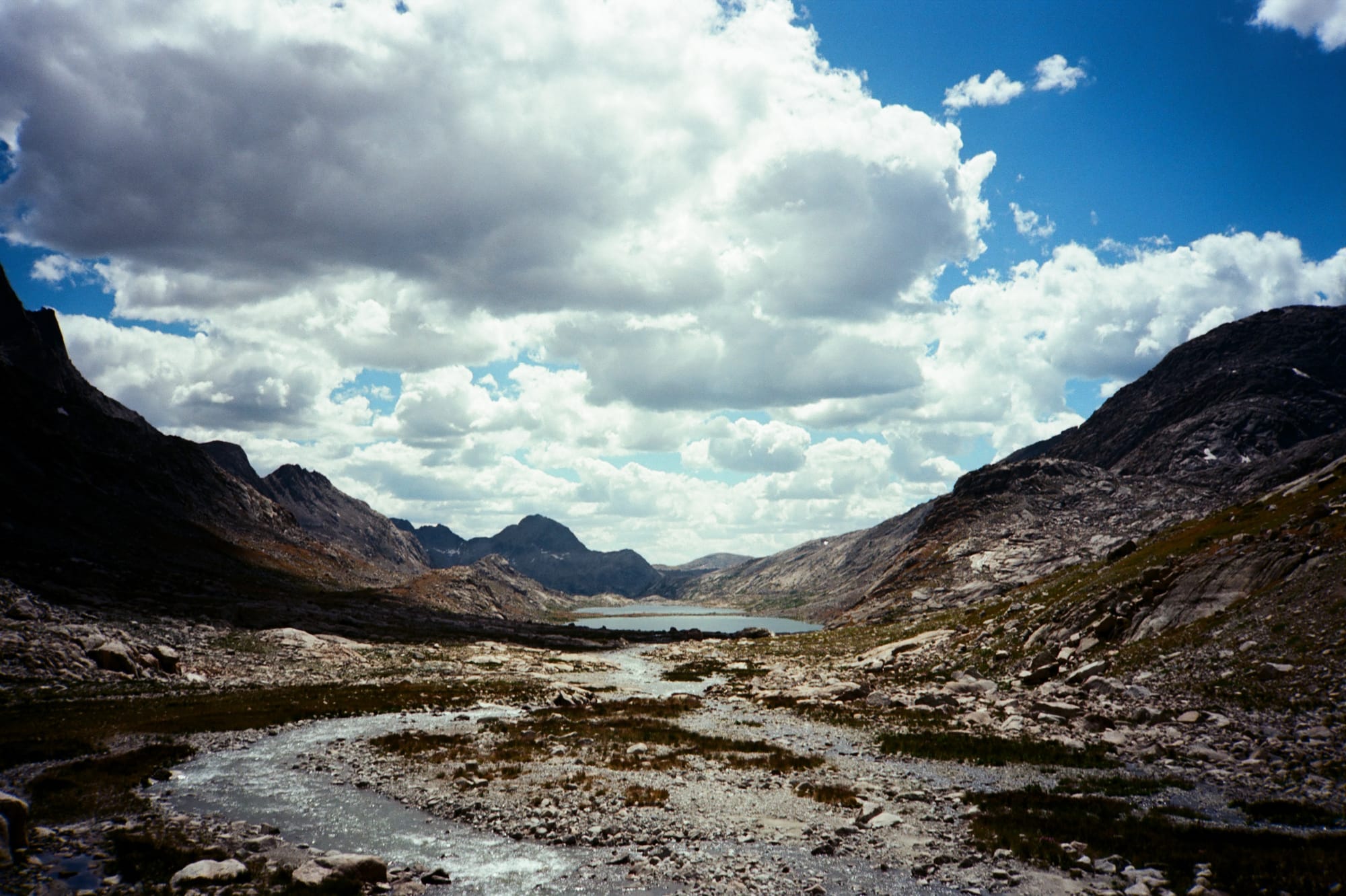
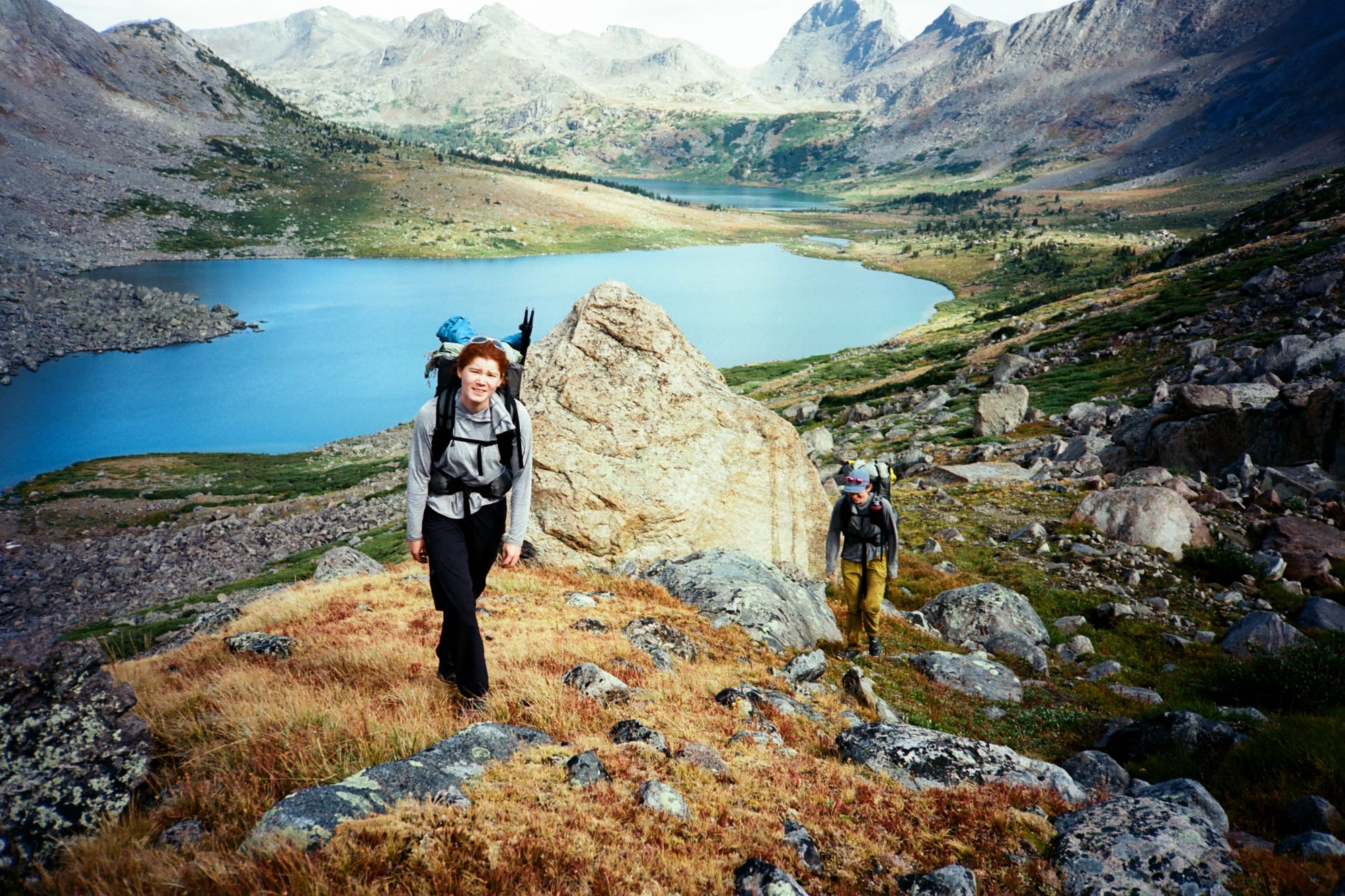
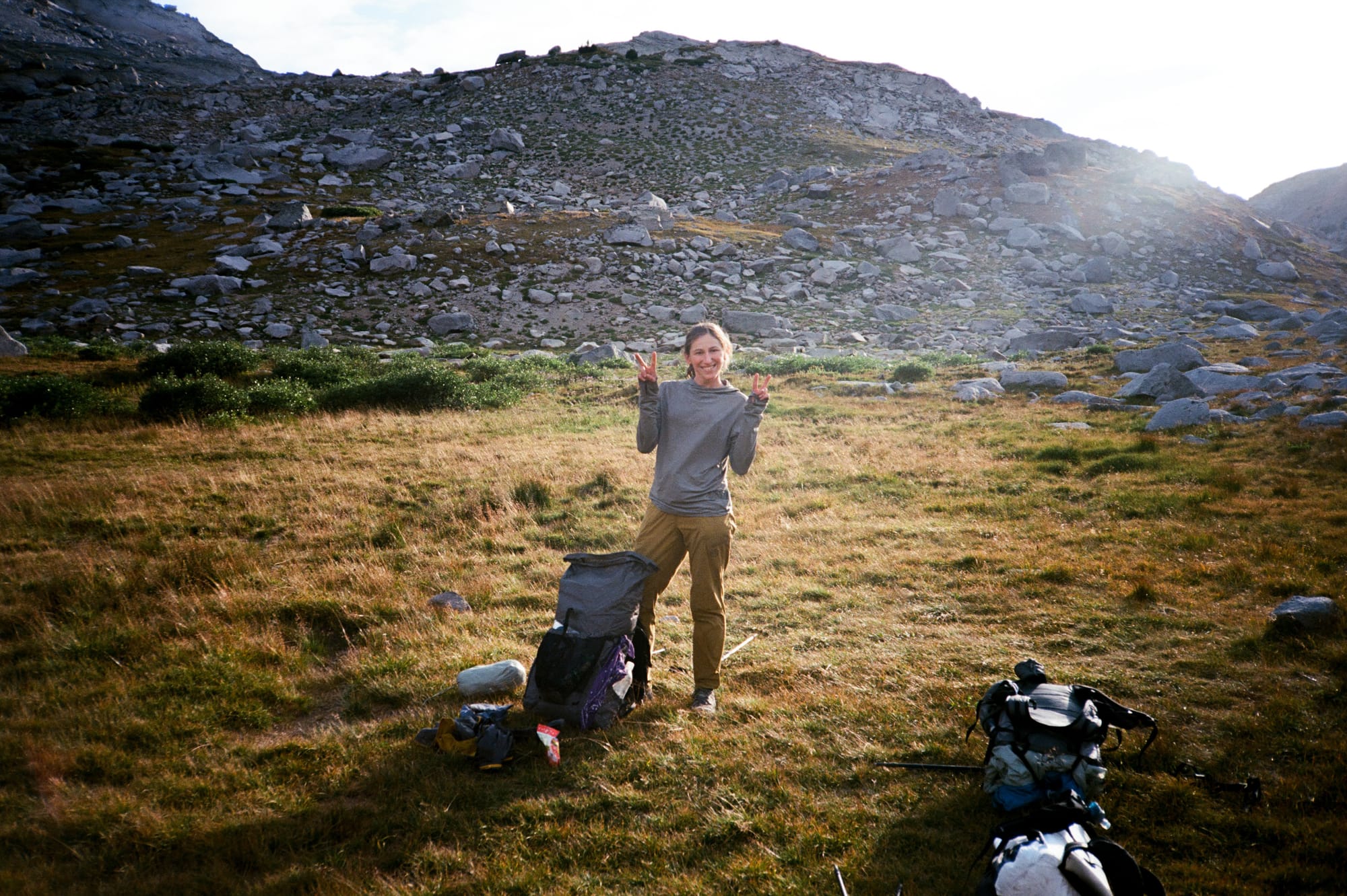
After Hay Pass, a swampy traverse up past Glacier Lake brought us to the firmer shores of Long Lake, where we enjoyed a perfect snack and lake dip spot. After leaving Long Lake and intersecting the Europe Canyon Trail, we left the lake basins behind for a long and hot section cross-country travel that contoured east across dry grasses, willows, and dried up lakebeds to Hall Lake. This felt like it took forever, and we were all very grateful to gain the shore of Hall Lake where we swam, ate lunch, and did some trail laundry. Still, we made great time and after bushwhacking past the very overgrown "trail" on the north shore of Middle Fork Lake, we stopped to camp at a relaxed 4:30pm at Lee Lake. It felt great to have covered the full 16 miles of rough off-trail travel we'd planned for the day much faster than expected, with a luxurious amount of daylight left to relax and stretch at camp.
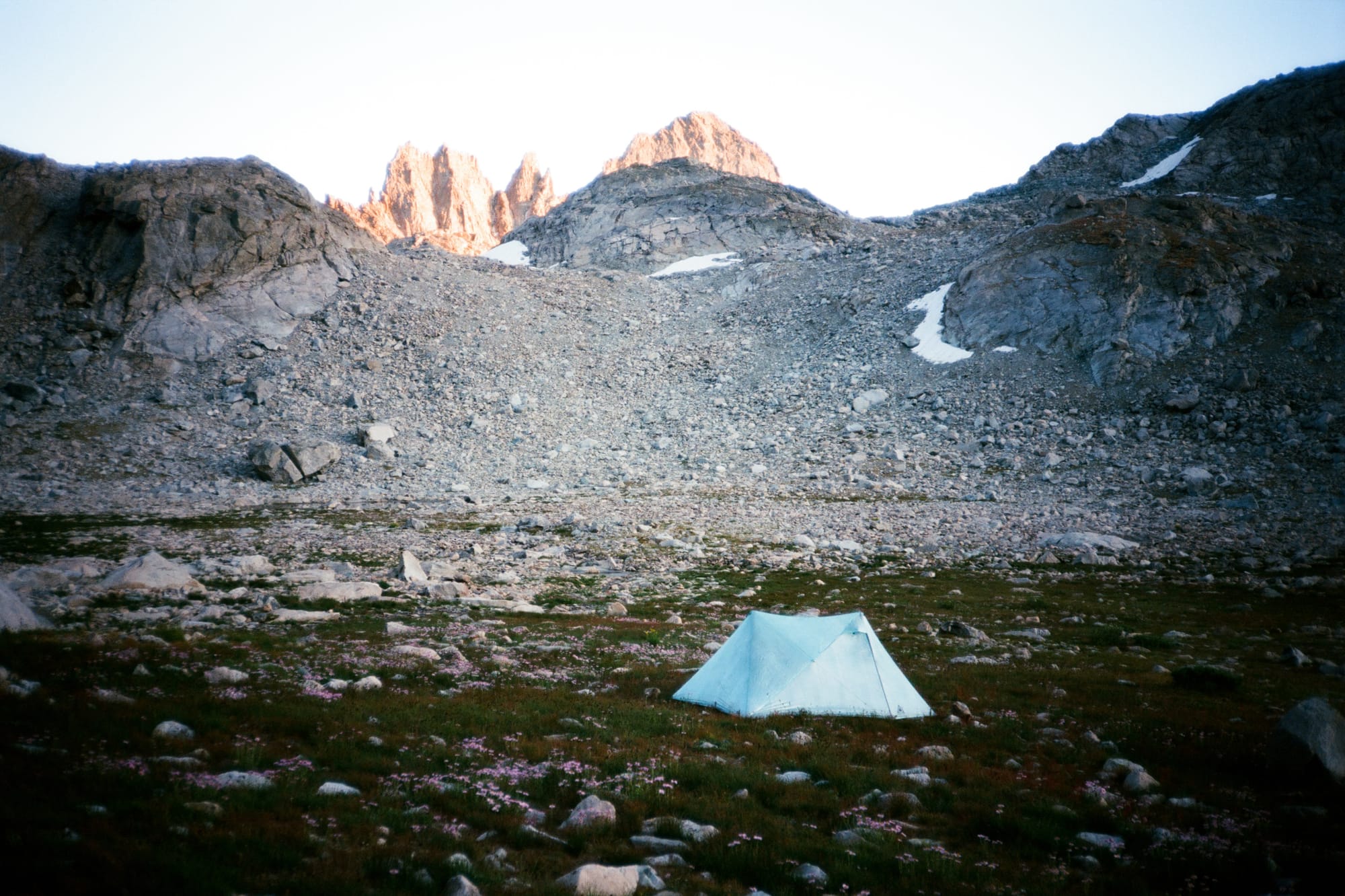
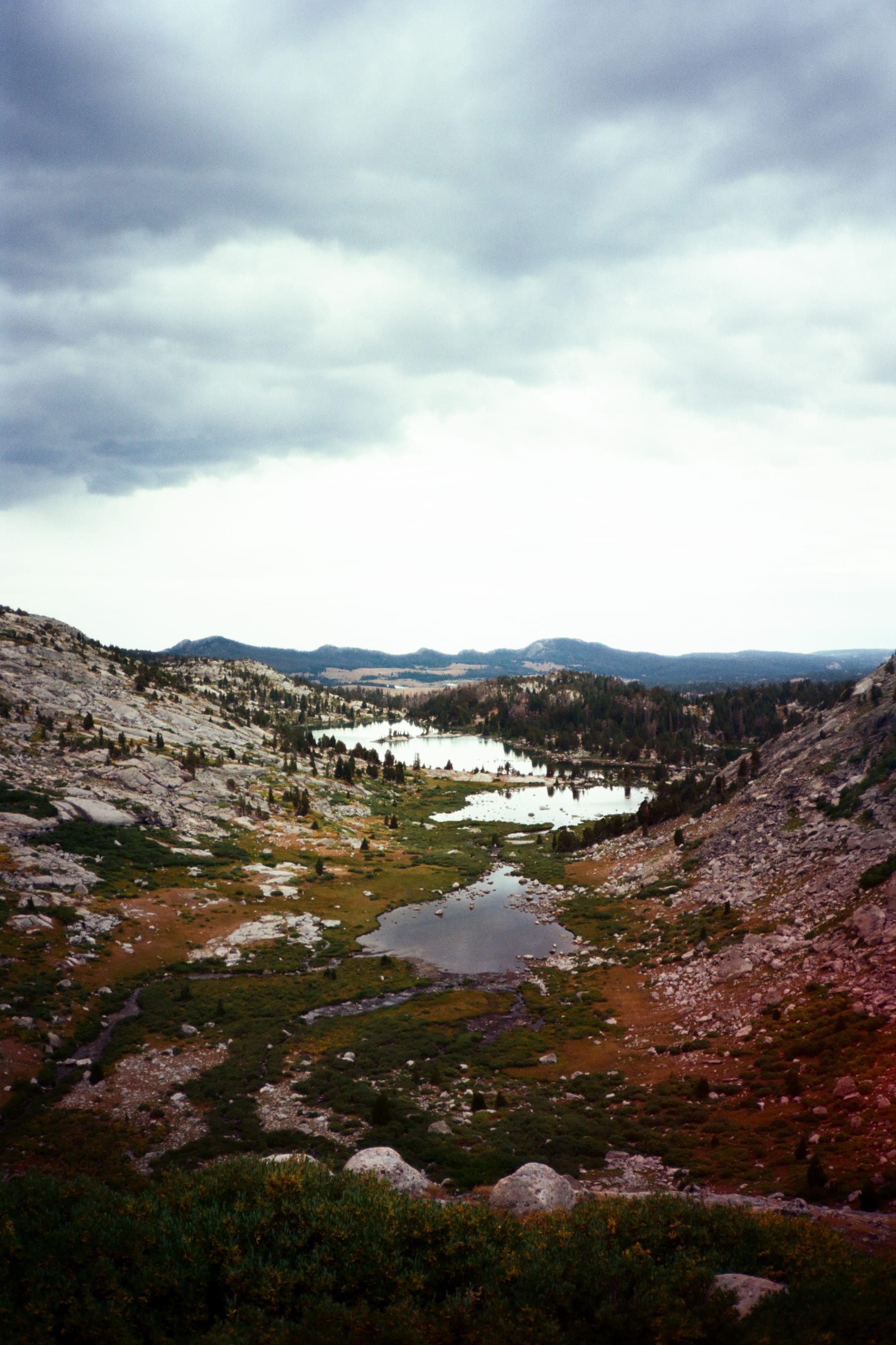
A storm rolled in that night, the first non-bluebird weather that we'd encountered on the trip. Sheets of rain and wind pounded the walls of our tents, and at one point Rachel and Natalie had to go out and re-pitch their tent after it collapsed in the wind. None of us slept great, but threatening clouds gave us a good excuse for a slower start as day 5 dawned with moody skies. Today would be our final day of full-value alpine travel, as our final day would only have one major pass before we hit the buffed-out trails and crowds of the Cirque of the Towers.
Even with our late start we dealt with some rain and wind going over Bonneville Pass, at one point hiding under a boulder for 20 minutes when the rain got really intense. Fortunately, the weather mellowed out mid-morning and allowed us to safely navigate the unnamed pass between Mount Bonneville and Raid Peak.
One of the more unique sections of travel on this day was a long traverse on a high terrain bench in the East Park Lakes basin, with spectacular views of Raid peak to the west.
We arrived at our final camp in time to enjoy the last rays of sun into the basin, followed by a perfect cotton candy sunset. Our camp was situated at the base of Texas pass in a well-protected grassy field between Texas Lake and Barren Lake, with only two fairly straightforward passes and a comparatively short amount of milage between us and the route's southern terminus at Big Sandy.
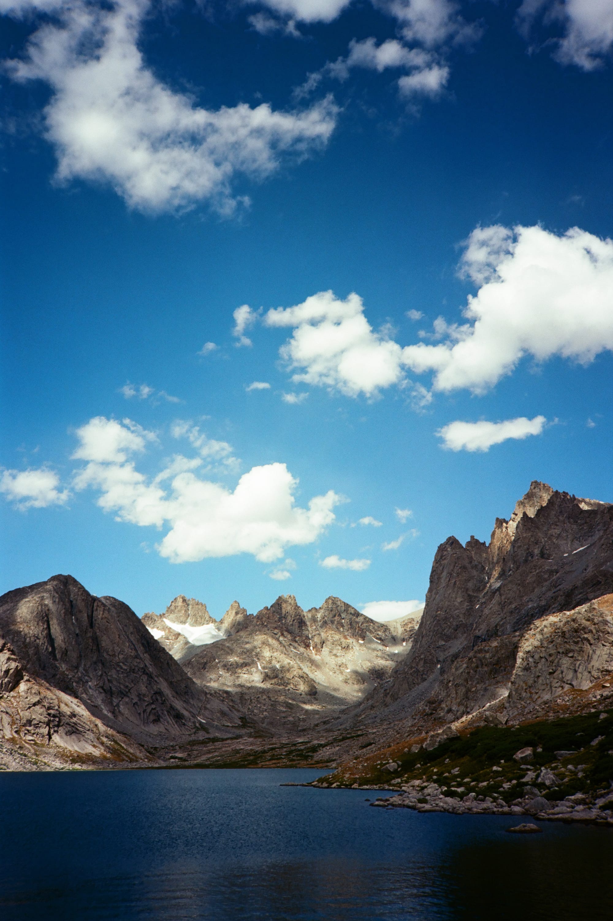
Day 6 started out clear and cold. We made our way up a good use trail up Texas Pass and quickly found ourselves in the Cirque of the Towers, with huge granite peaks all around us.
The Dixon high route had us exiting the Cirque via Jackass Pass rather than the lower-elevation path of least resistance that most climbers and tourists use to access the area. At first this seemed kind of arbitrary, but the brief bit of solitude and the views of Arrowhead lake from above won us over.
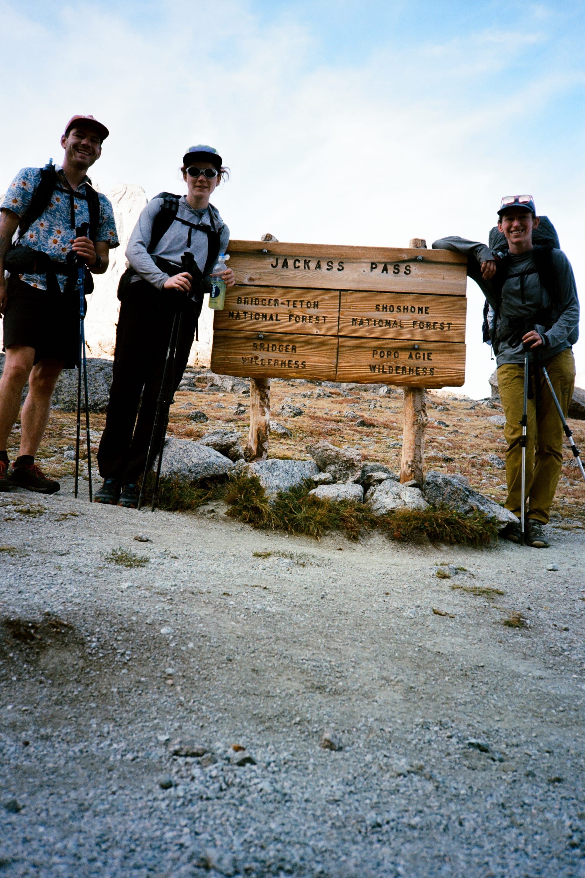
A few miles of extremely friendly trail later, and we found ourselves at Big Sandy, the southern terminus of the Alan Dixon Wind River High Route. Mikhail, who'd gotten out before us on the CDT came and picked us up, and we began the whole process of getting home (complicated by a wildfire that had started the day before!).
As someone who's done most of his trail miles either backpacking on buffed-out trails in the Pacific Northwest or approaching high mountain climbs on nonexistent climber "trails" with nothing but a minimal alpine daypack on my back, this trip was the perfect synthesis of both modes of travel. The high route was rough and unforgiving but also intensely gratifying – both the nervous feeling of peering into a new lake basin full of cliffs and talus and knowing you'd need to pick your way to the other side, and the satisfaction of looking back at all the terrain you'd successfully navigated at the end of a hard section of travel were unparalleled for me on this route. Our group handled all the trail's challenges with good spirits and enthusiasm. I'm lucky to live the life that I do, and to count people like this as good friends.
Trail Notes:
- The big question of the WRHR is whether to follow Dixon or Skurka's route. Having done the Dixon route , I thought it was a really good natural line that followed the terrain well and felt challenging without being contrived. If summiting things is a bigger priority and you don't mind some extra trail miles at the start, doing the Skurka route might make more sense for you.
- Five and half days worked well for three of us but definitely requires a good amount of fitness and confidence moving quickly over rough and consequential terrain. A fall in the talus would be bad.
- There's so much water in the Winds. I rarely carried more than a liter at a time, which was super nice from a weight perspective.
Gear Notes:
- I wore approach shoes with stiffer soles and climbing rubber for this route because of all the talus, and I think that decision paid off 1000%. I felt a lot more confident boulder hopping and could move more quickly through all the talus miles because of that footwear choice.
- I will never set out for a long trip again without leaving my sleeping pad inflated overnight to make sure it holds air and doesn't have a slow leak. Waking up every 3-4 hours to re-inflate sucked and was my only major gear fail of the trip.
- My 22 degree quilt was just warm enough for the colder nights. Doing this earlier or later in the season, I might opt for something warmer.
- I used aquamira water treatment for this trip, everyone else used filters to varying degrees of success. Even though the water sources are really good and clear, I'd still opt for aquamira if I did it again since it's both super fast (assuming you premix) and works well with hydration mix packets.